Geospatial Technology Delivers 3D City Model of Doha
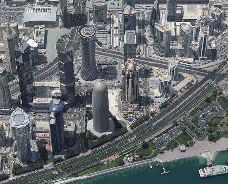
The Centre for Geographic Information Systems (CGIS), the official geospatial agency of the State of Qatar, successfully delivered the country’s first advanced,...
Geospatial1 brings Earth Imaging Journal, Sensors & Systems and Asian Surveying & Mapping together as one publication. V1 Media is the parent of Geospatial1 and Informed Infrastructure.
The Centre for Geographic Information Systems (CGIS), the official geospatial agency of the State of Qatar, successfully delivered the country’s first advanced,...
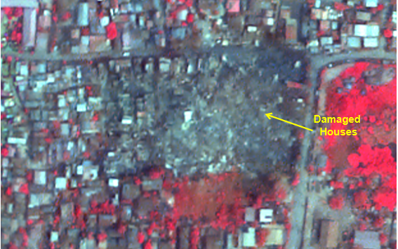
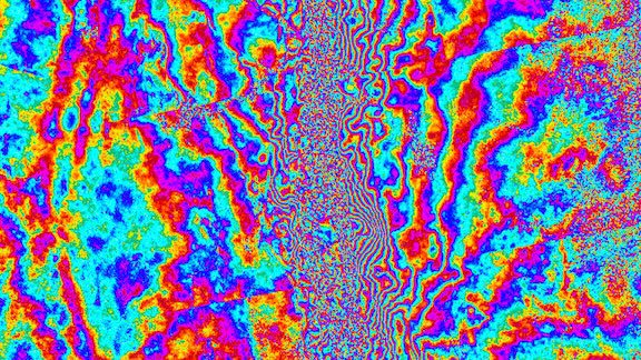
On March 28, 2025, a powerful magnitude 7.7 earthquake struck central Myanmar, sending shockwaves through the region. While the country is still dealing with th...
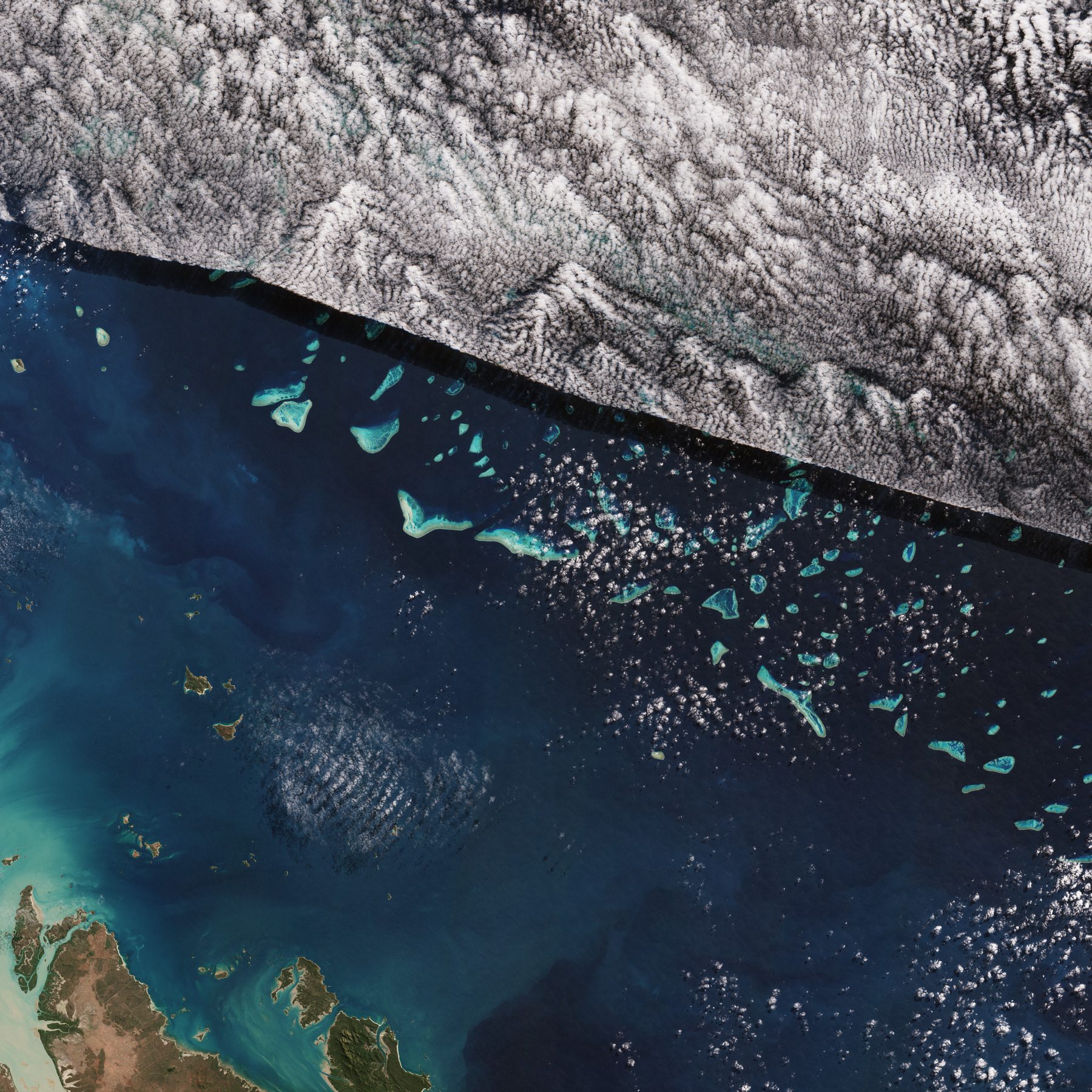
This Copernicus Sentinel-2 image shows part of one of the world’s natural wonders: the Great Barrier Reef in the Coral Sea off the east coast of Queensland, Aus...
An earthquake of magnitude 7.7 struck Myanmar on March 28, 2025, followed by a strong aftershock of magnitude 6.4. The epicenter of the quake was located near M...
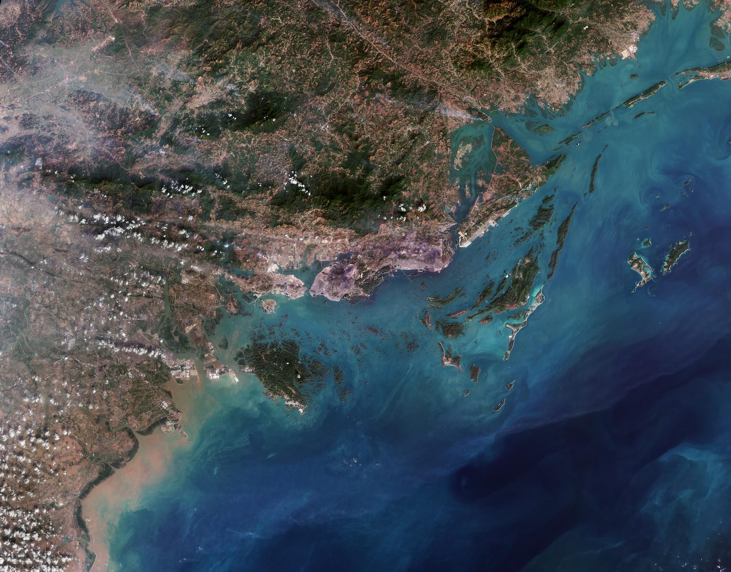
This Copernicus Sentinel-2 image showcases striking rocky formations amid the blue waters of Halong Bay in northeast Vietnam. Halong Bay spans about 1500 sq...
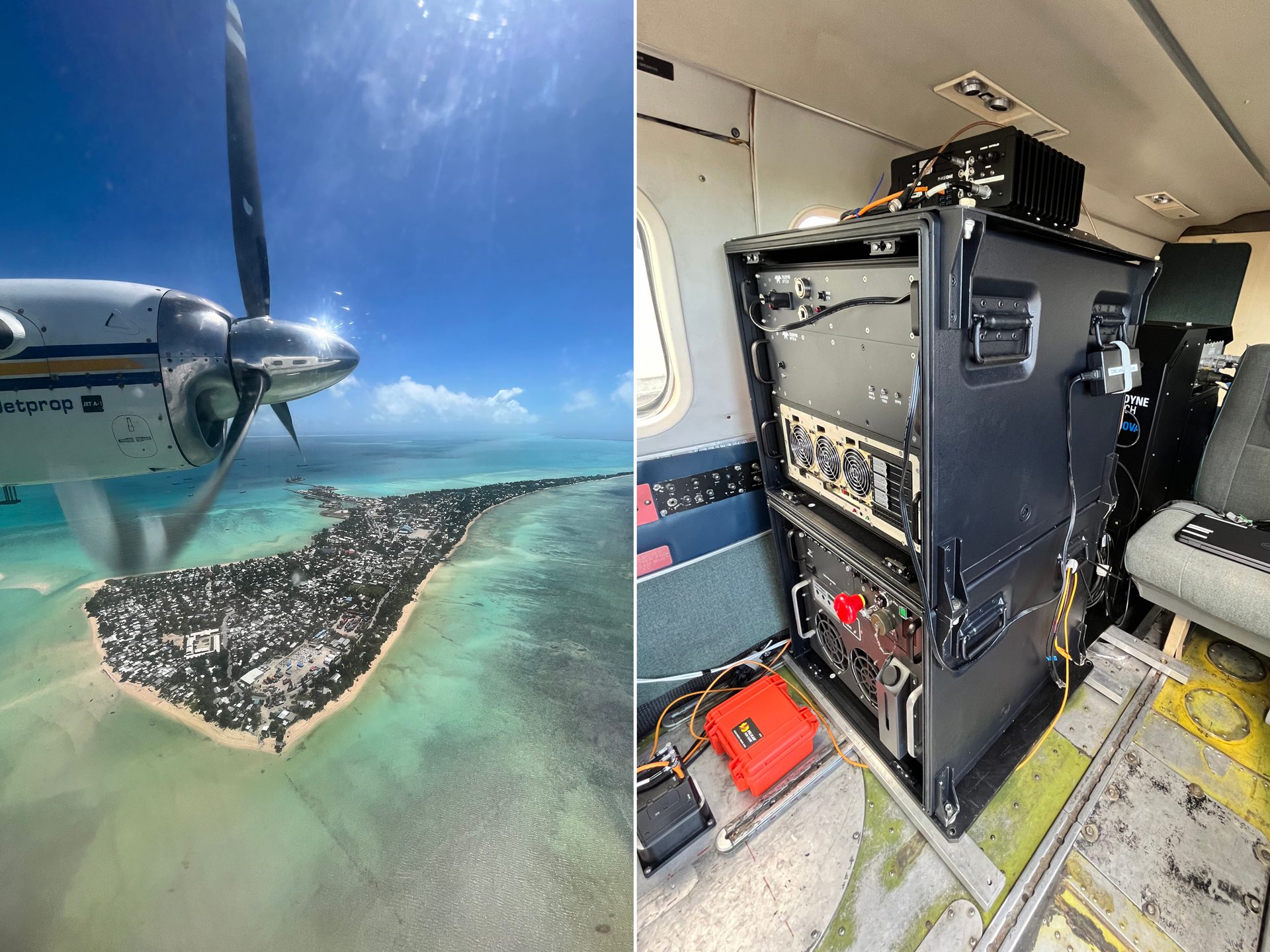
Tetra Tech won three MAPPS Awards for a single project using the Teledyne Optech CZMIL SuperNova. The awards include the MAPPS Award for Airborne Acquisition an...
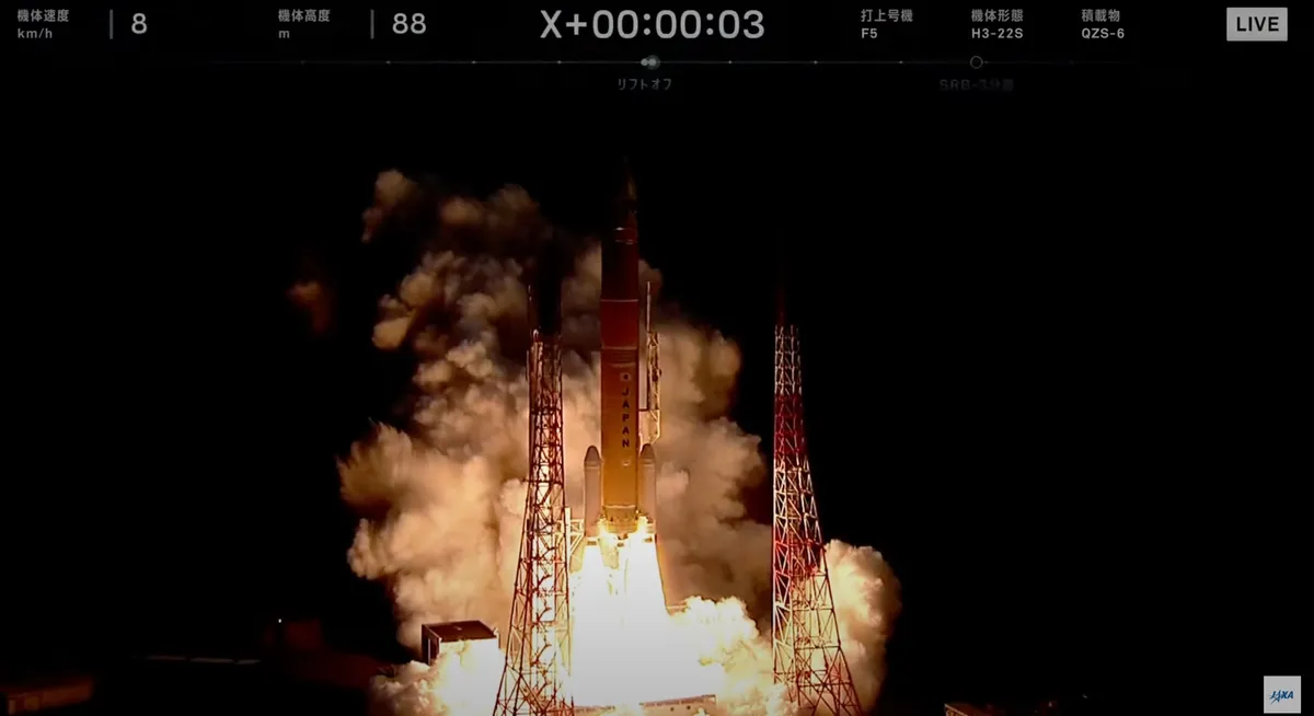
An H3 rocket launched the Michibiki 6 navigation spacecraft from Tanegashima Space Center on Feb. 2, 2025, to a geostationary transfer orbit, deploying it there...
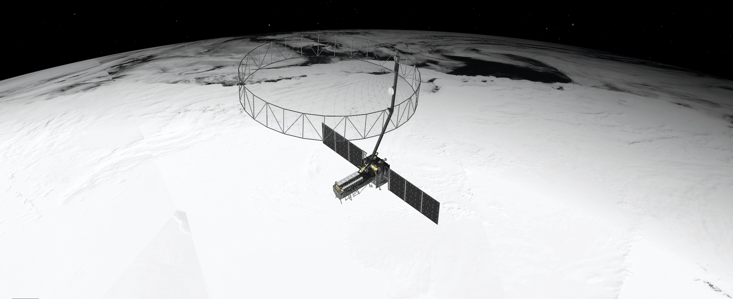
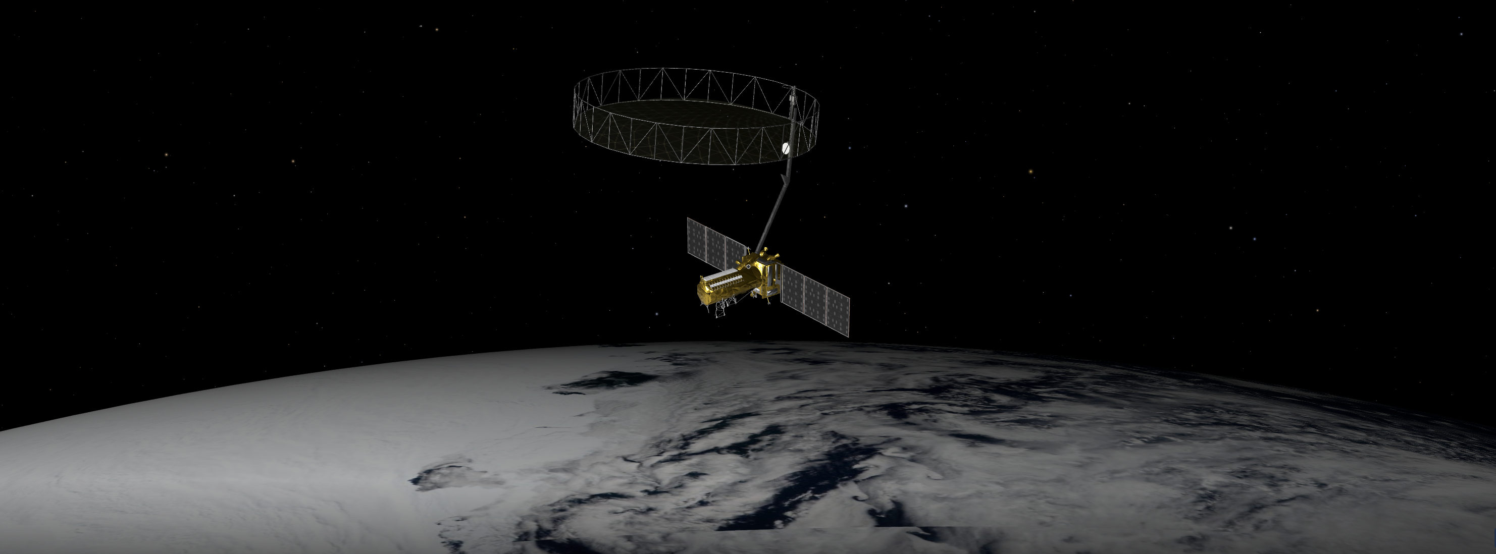
When NASA and the Indian Space Research Organization’s (ISRO) new Earth satellite NISAR (NASA-ISRO Synthetic Aperture Radar) launches in coming months, it will...
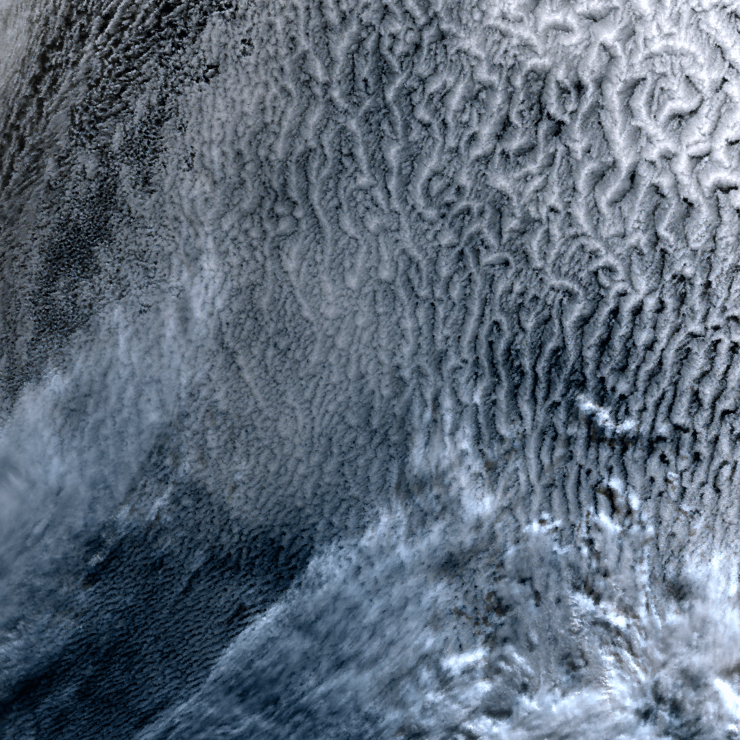
Located in the South Pacific Ocean, about 3,900 kilometers east of New Zealand, Point Nemo is also known as the “Pole of Inaccessibility” because it’s the farth...
The upcoming U.S.-India NISAR (NASA-ISRO Synthetic Aperture Radar) mission will observe Earth like no mission before, offering insights about our planet’s ever-...