[caption id="attachment_46575" align="alignleft" width="300"]
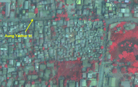
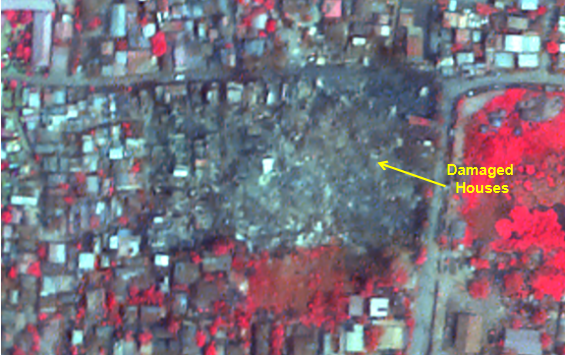 Before (top) and after (bottom) images of the Myanmar earthquake show a large section of damaged houses. (Credit: ISRO)[/caption]
Geospatial1 brings Earth Imaging Journal, Sensors & Systems and Asian Surveying & Mapping together as one publication. V1 Media is the parent of Geospatial1 and Informed Infrastructure.
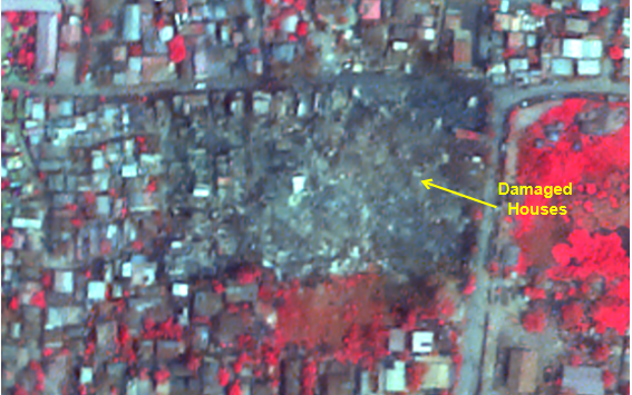 Before (top) and after (bottom) images of the Myanmar earthquake show a large section of damaged houses. (Credit: ISRO)[/caption]
Jul 28, 2026
Jul 13, 2026
Jun 29, 2026