Typhoon Ragasa Seen from Space
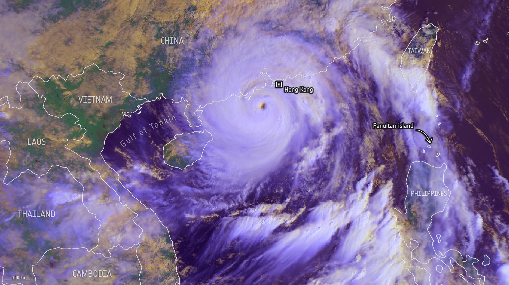
Captured on Sept. 24, 2025, by EUMETSAT’s MetOp-B satellite, this image shows Typhoon Ragasa swirling south of Hong Kong. Days earlier, Ragasa struck the northe...
Geospatial1 brings Earth Imaging Journal, Sensors & Systems and Asian Surveying & Mapping together as one publication. V1 Media is the parent of Geospatial1 and Informed Infrastructure.
Captured on Sept. 24, 2025, by EUMETSAT’s MetOp-B satellite, this image shows Typhoon Ragasa swirling south of Hong Kong. Days earlier, Ragasa struck the northe...
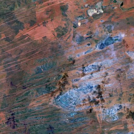
Part of the Gibson Desert in Western Australia is featured in this image captured by the Φsat-2 mission in June 2025. Covering an area of more than 150,000...
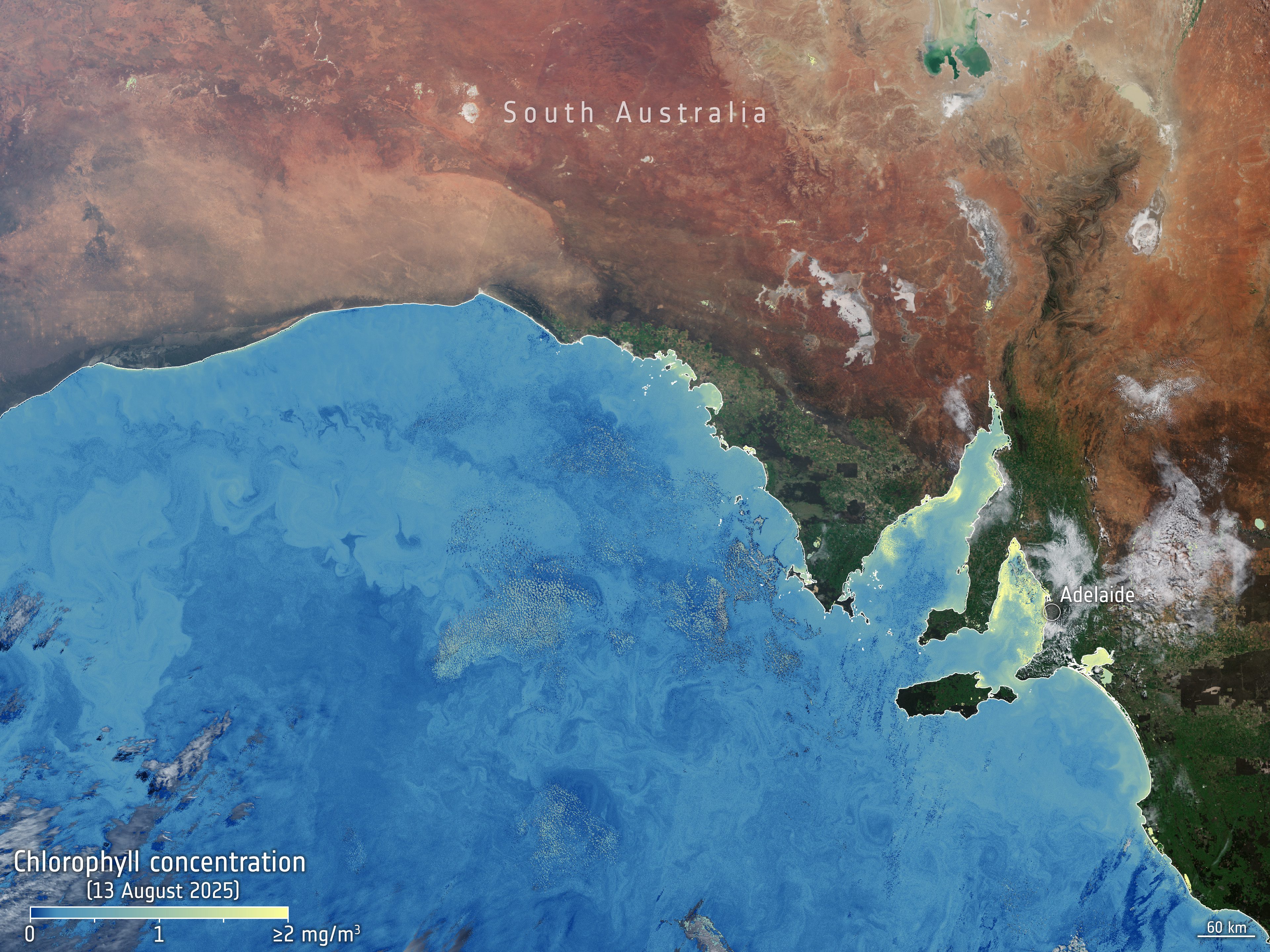
This image acquired by the Copernicus Sentinel-3 mission and its Ocean and Land Colour Instrument shows high concentrations of chlorophyll in yellow-green along...
Chinese launch startup iSpace launched the nation’s first rocket-recovery ship, marking a major step toward offshore reusable rocket operations. Read more...
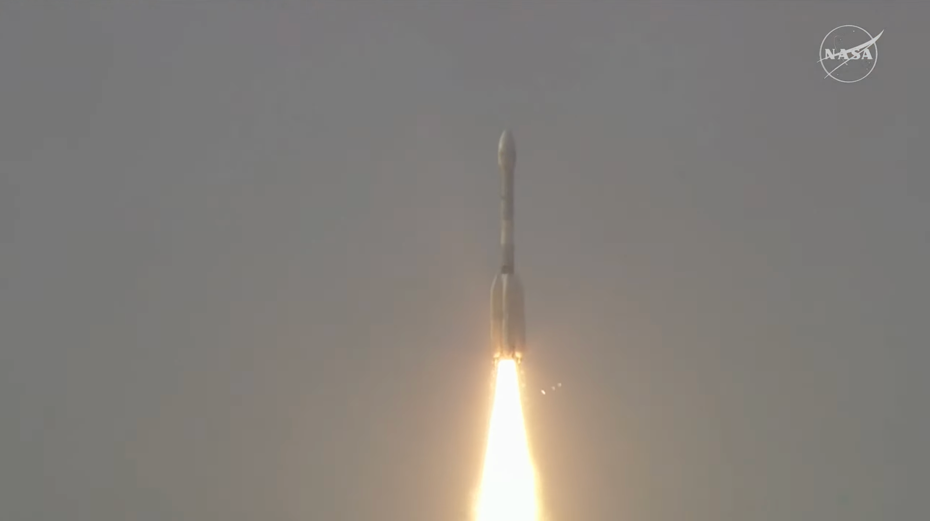
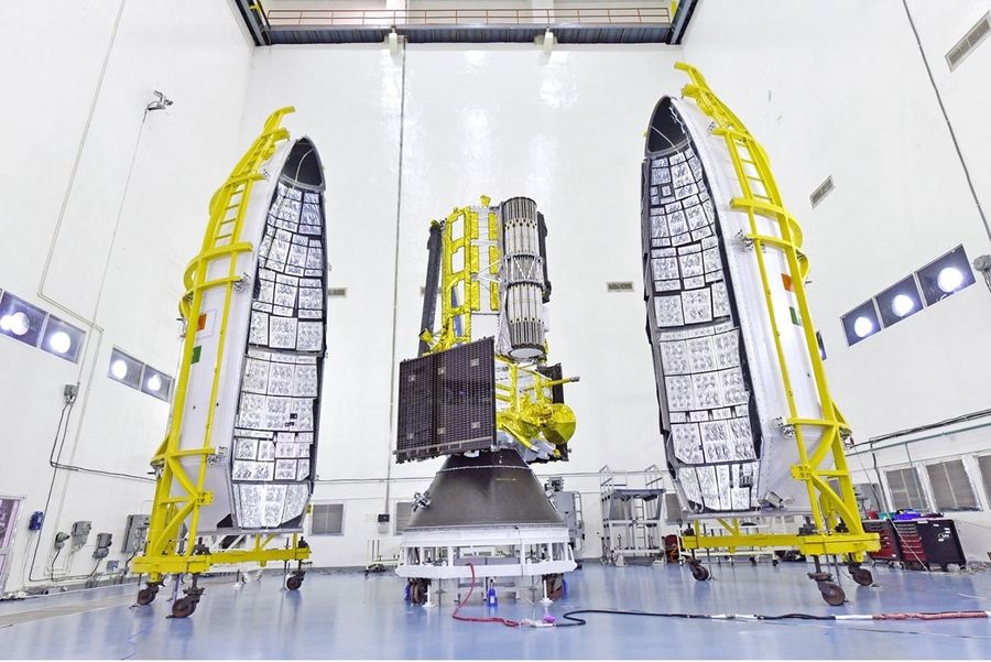
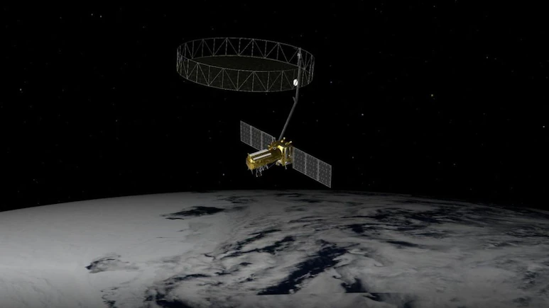
Carrying an advanced radar system that will produce a dynamic, 3D view of Earth in unprecedented detail, the NISAR (NASA-ISRO Synthetic Aperture Radar) satellit...
NASA and the Indian Space Research Organisation have set the launch readiness date for the NISAR (NASA-ISRO Synthetic Aperture Radar) mission for no earlier tha...
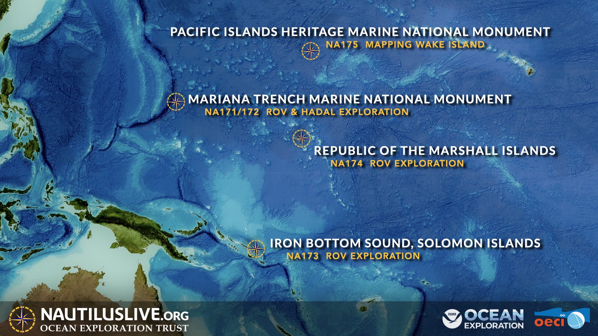
The Ocean Exploration Trust (OET)’s exploration vessel (E/V) Nautilus is underway on its third expedition of 2025 to conduct archaeological surveys of historica...
The $1.5 billion Earth-observing satellite, weighing nearly three tonnes, will monitor the planet's surface with unmatched precision, using advanced radar to sc...
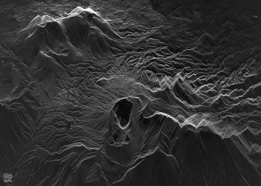
Japan’s Institute for Q-shu Pioneers of Space, iQPS, plans to launch eight additional synthetic aperture radar (SAR) satellites through the end of 2026. Ro...
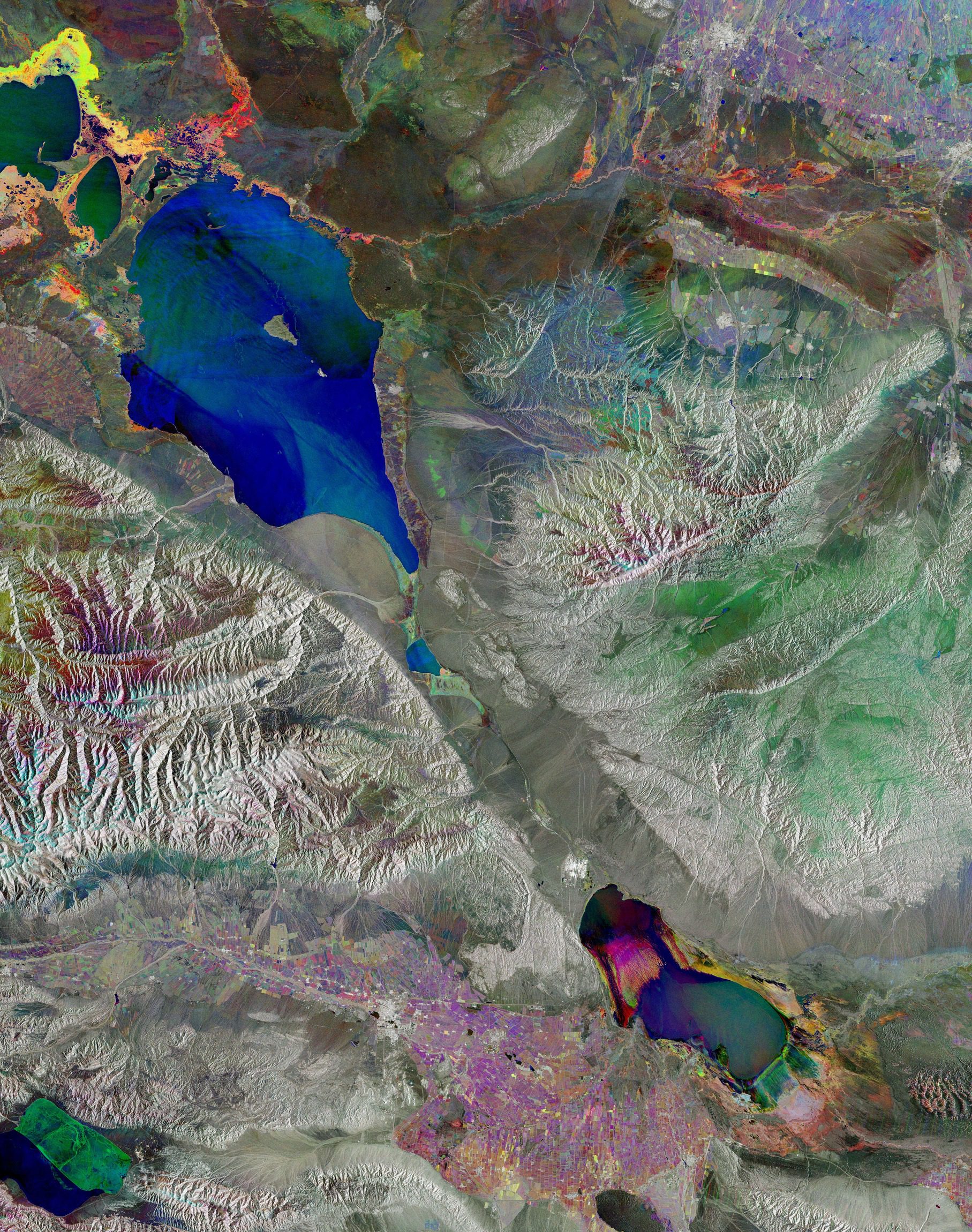
Although radar images are naturally black and white, this false-color composite of Lake Alakol in eastern Kazakhstan results from the combination of three separ...