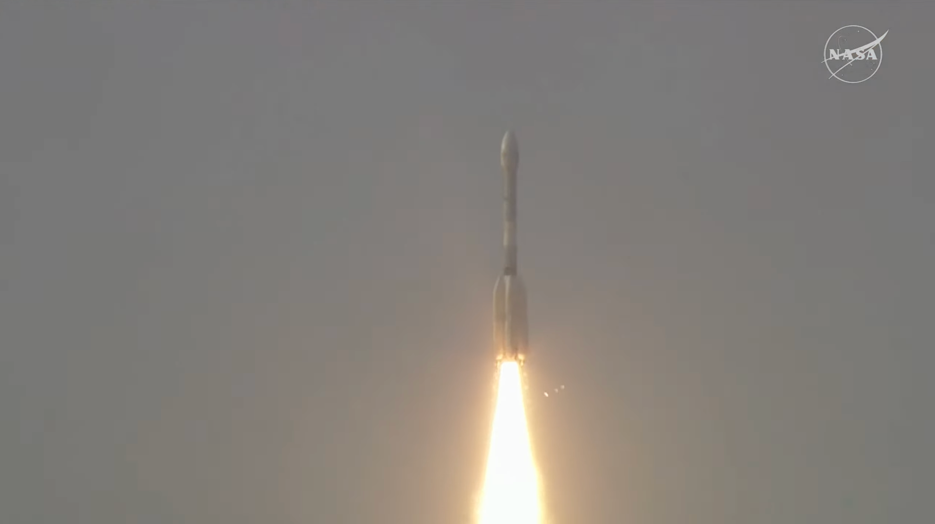
Carrying an advanced radar system that will produce a dynamic, 3D view of Earth in unprecedented detail, the NISAR (NASA-ISRO Synthetic Aperture Radar) satellite launched from Satish Dhawan Space Centre in Sriharikota, Andhra Pradesh, India, on July 30, 2025.
Jointly developed by NASA and the Indian Space Research Organisation (ISRO), the satellite can detect the movement of land and ice surfaces down to the centimeter. The mission will help protect communities by providing unique, actionable information to decision-makers in a diverse range of areas, including disaster response, infrastructure monitoring, and agricultural management.
The ISRO ground controllers began communicating with NISAR about 20 minutes after launch and confirmed it is operating as expected.
Image Credit: ISRO
Featured Images
NASA-ISRO Satellite Lifts Off to Track Earth’s Changing Surfaces