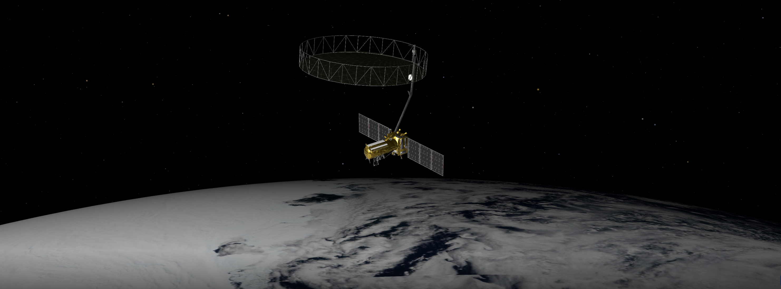
The upcoming U.S.-India NISAR (NASA-ISRO Synthetic Aperture Radar) mission will observe Earth like no mission before, offering insights about our planet’s ever-changing surface.
The NISAR mission is a first-of-a-kind dual-band radar satellite that will measure land deformation from earthquakes, landslides and volcanoes, producing data for science and disaster response. It will track how much glaciers and ice sheets are advancing or retreating, and it will monitor growth and loss of forests and wetlands for insights on the global carbon cycle.
As diverse as NISAR’s impact will be, the mission’s winding path to launch—in a few months’ time—has also been remarkable. Paul Rosen, NISAR’s project scientist at NASA’s Jet Propulsion Laboratory in Southern California, has been there at every step. He recently discussed the mission and what sets it apart.
Click here to read more.
Featured Images
How US-Indian NISAR Satellite Will Offer Unique Window on Earth