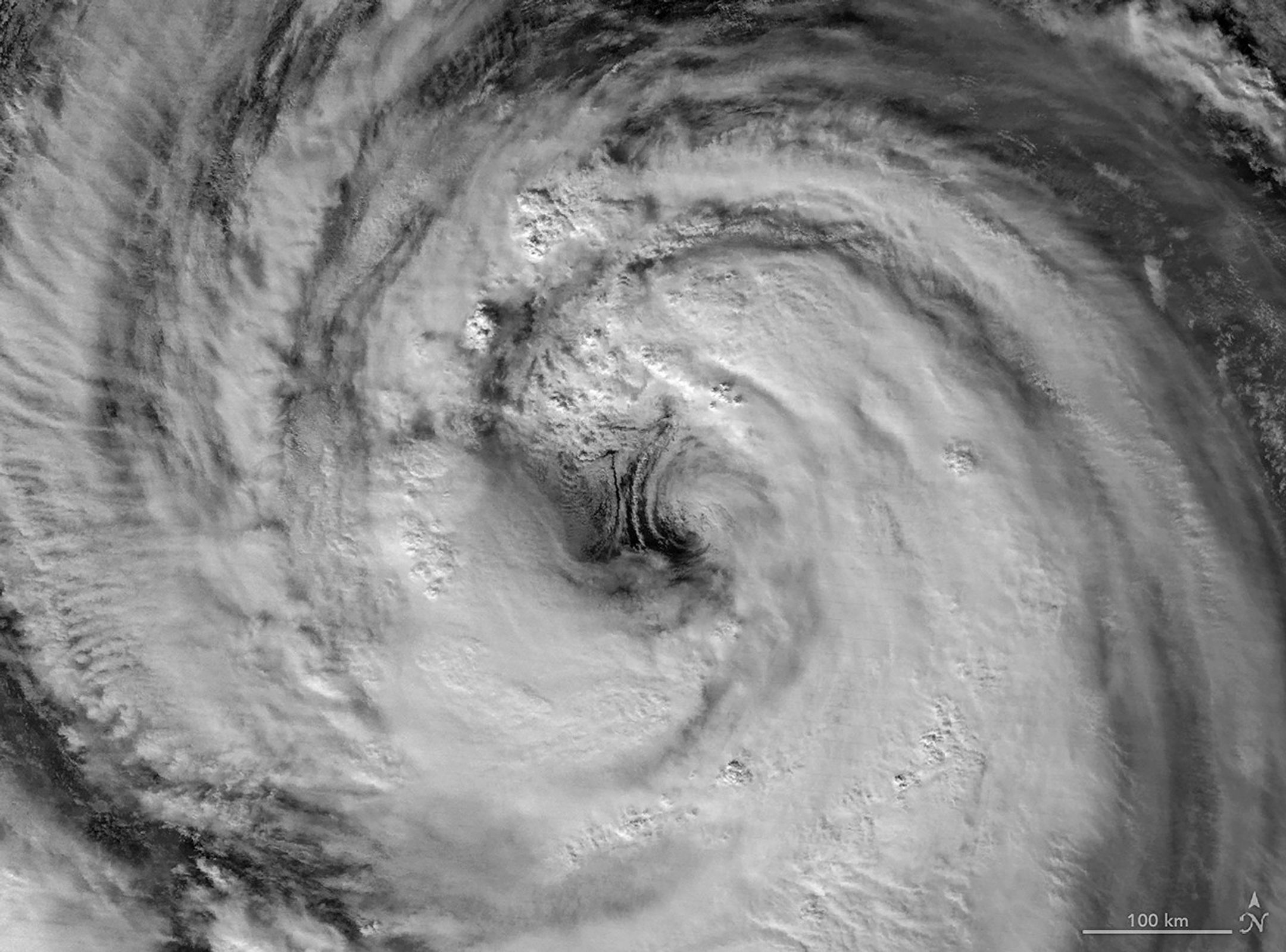
Typhoon Jangmi churned across the western Pacific Ocean in early June 2026, producing a nighttime view captured by the Visible Infrared Imaging Radiometer Suite (VIIRS) aboard a Joint Polar Satellite System satellite on May 30, 2026. Around that time, the typhoon produced sustained winds of 120 kilometers (75 miles) per hour, based on 1-minute averages reported by the Joint Typhoon Warning Center.
The storm's spiral cloud structure and illuminated core stand out against the dark waters of the Pacific, providing a dramatic example of how modern Earth-observation systems are helping scientists monitor severe weather around the globe.
Image Credit: NASA Earth Observatory images by Michala Garrison, using VIIRS day-night band data from NASA EOSDIS LANCE, GIBS/Worldview, and the Joint Polar Satellite System (JPSS).
Featured Images
Typhoon Jangmi Heading Toward Japan