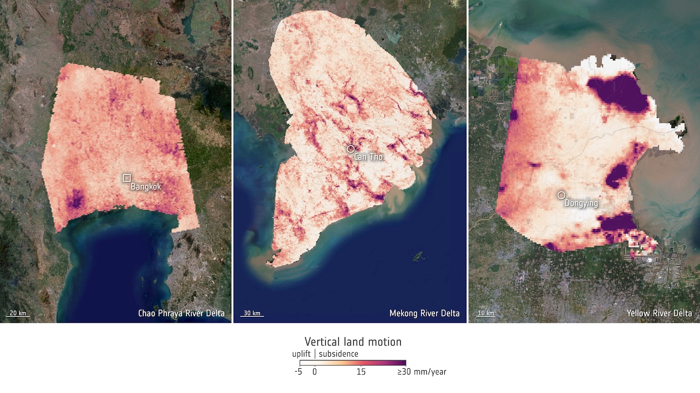
Using a decade of satellite radar observations from Copernicus Sentinel-1, researchers mapped surface elevation changes across 40 major river deltas worldwide. The study found that more than half of the deltas studied are subsiding at rates faster than 3 millimeters per year. This means that subsidence is a huge challenge for delta regions–more pressing even than global sea-level rise.
In deltas such as the Chao Phraya in Thailand, the Mekong in Vietnam and the Yellow River in China, sinking land is now the dominant driver of relative sea-level rise. This dramatically increases their vulnerability to flooding, land loss, saltwater intrusion and storm surges.
Image credit: ESA (data source: Ohenhen et al, 2026).
Featured Images
River Deltas at Risk: Chao Phraya, Mekong and Yellow River