NOAA’s National Ocean Service announced a new hydrographic survey project to map and characterize more than 30,000 square nautical miles of federal waters off American Samoa. This project is part of the Department of Commerce's implementation of the U.S. Offshore Critical Minerals Mapping Plan as defined by President Trump’s Executive Order 14285: Unleashing America's Offshore Critical Minerals and Resources.
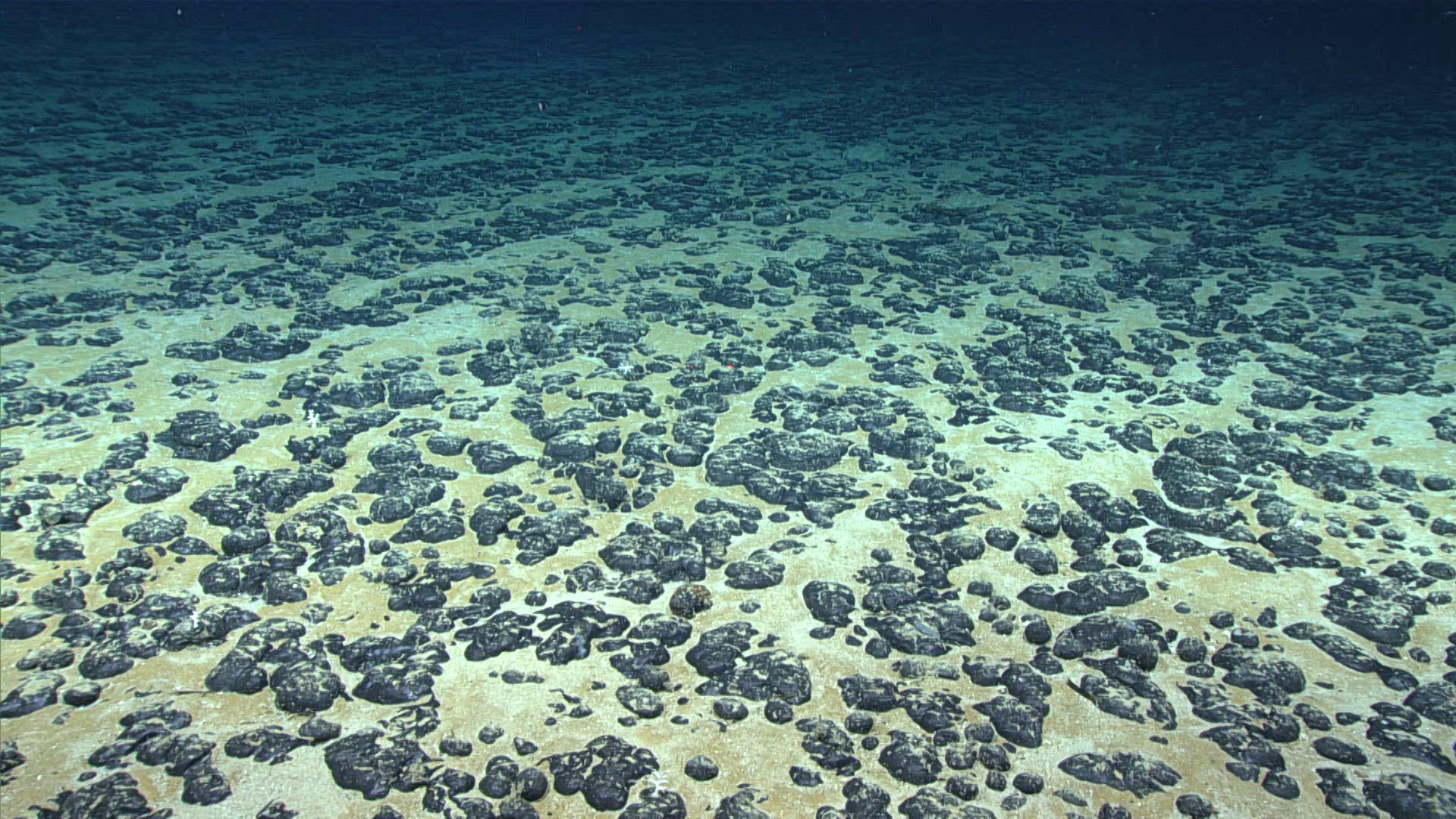
Polymetallic nodules, such in this image, can occur on the ocean floor and are of interest for the critical minerals they contain.
Image credit: NOAA
Featured Images
NOAA To Map Critical Mineral Deposits in Deep Waters off American Samoa