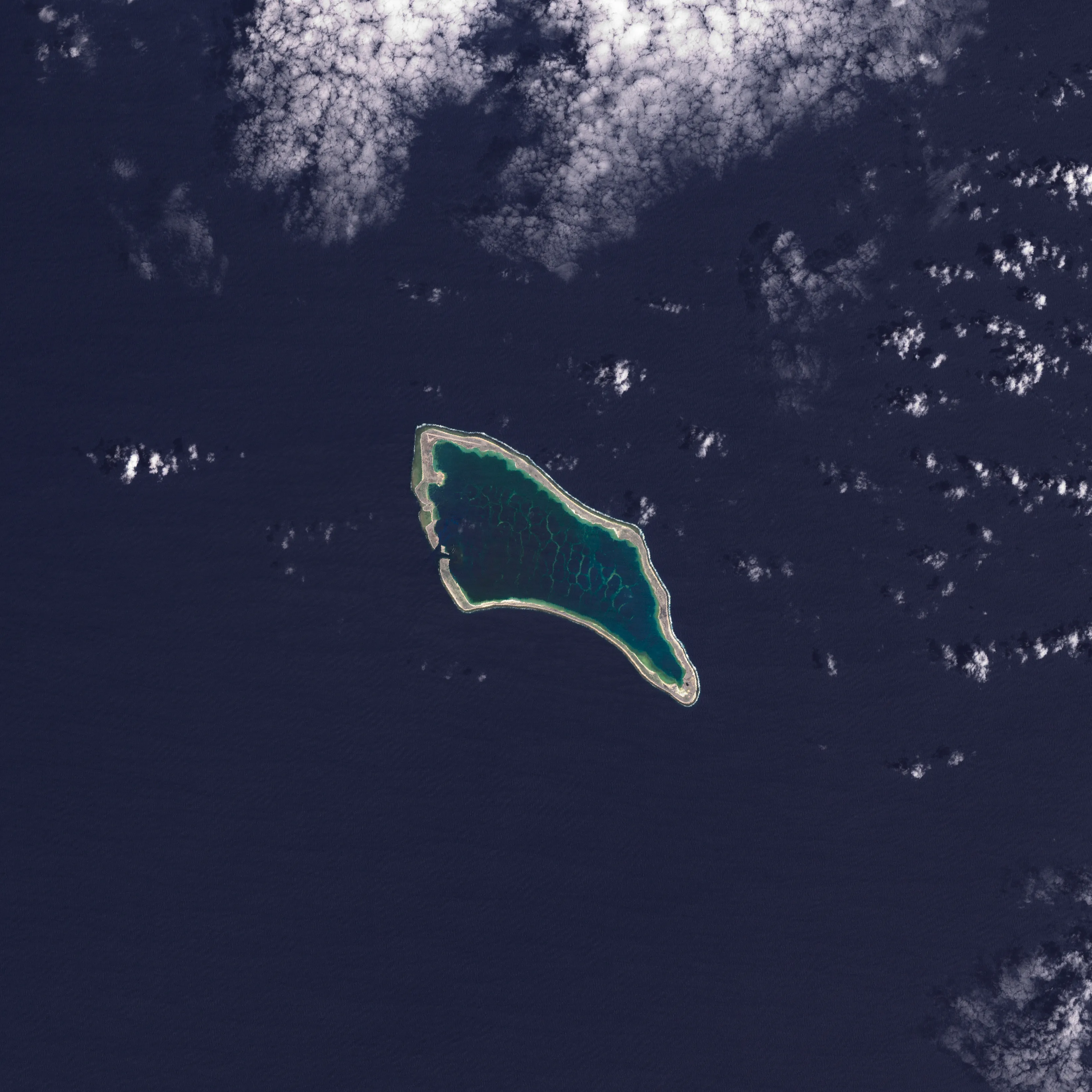
In the next 30 years, Pacific Island nations such as Tuvalu, Kiribati (pictured) and Fiji will experience at least 6 inches (15 centimeters) of sea-level rise, according to an analysis by NASA’s sea-level change science team. This amount of rise will occur regardless of whether greenhouse gas emissions change in the coming years.
The sea level change team undertook the analysis of this region at the request of several Pacific Island nations, including Tuvalu and Kiribati, and in close coordination with the U.S. Department of State.
In addition to the overall analysis, the agency’s sea-level team produced high-resolution maps showing which areas of different Pacific Island nations will be vulnerable to high-tide flooding—otherwise known as nuisance flooding or sunny day flooding—by the 2050s. Released on Sept. 23, 2025, the maps outline flooding potential in a range of emissions scenarios, from best-case to business-as-usual to worst-case.
Image Credit: NASA Earth Observatory
Featured Images
NASA Analysis Shows Irreversible Sea Level Rise for Pacific Islands