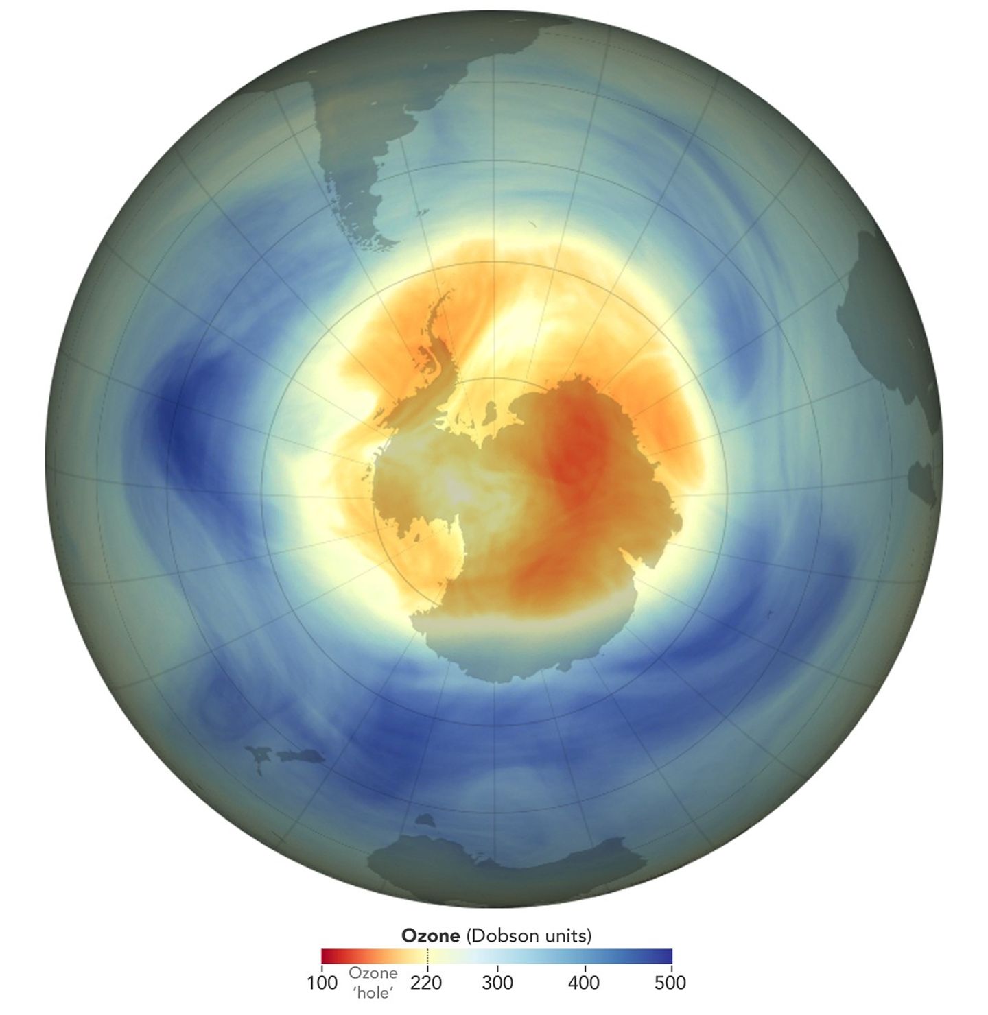
NASA, NOAA Rank 2025 Ozone Hole as 5th Smallest Since 1992
While continental in scale, the ozone hole over the Antarctic was small in 2025 compared to previous years and remains on track to recover later this century, N...
Geospatial1 brings Earth Imaging Journal, Sensors & Systems and Asian Surveying & Mapping together as one publication. V1 Media is the parent of Geospatial1 and Informed Infrastructure.
While continental in scale, the ozone hole over the Antarctic was small in 2025 compared to previous years and remains on track to recover later this century, N...
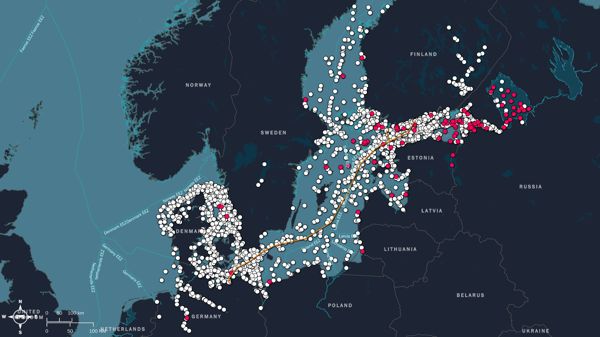
Across the world’s oceans, including U.S. territorial waters, some vessels deliberately “go dark,” switching off AIS (cooperative beacon) to operate undetected....
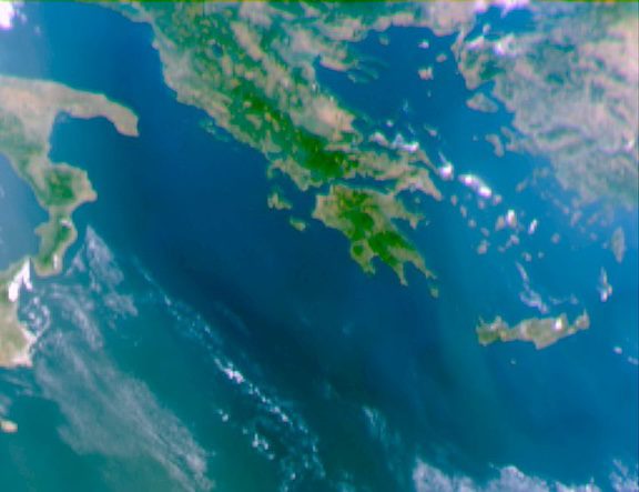
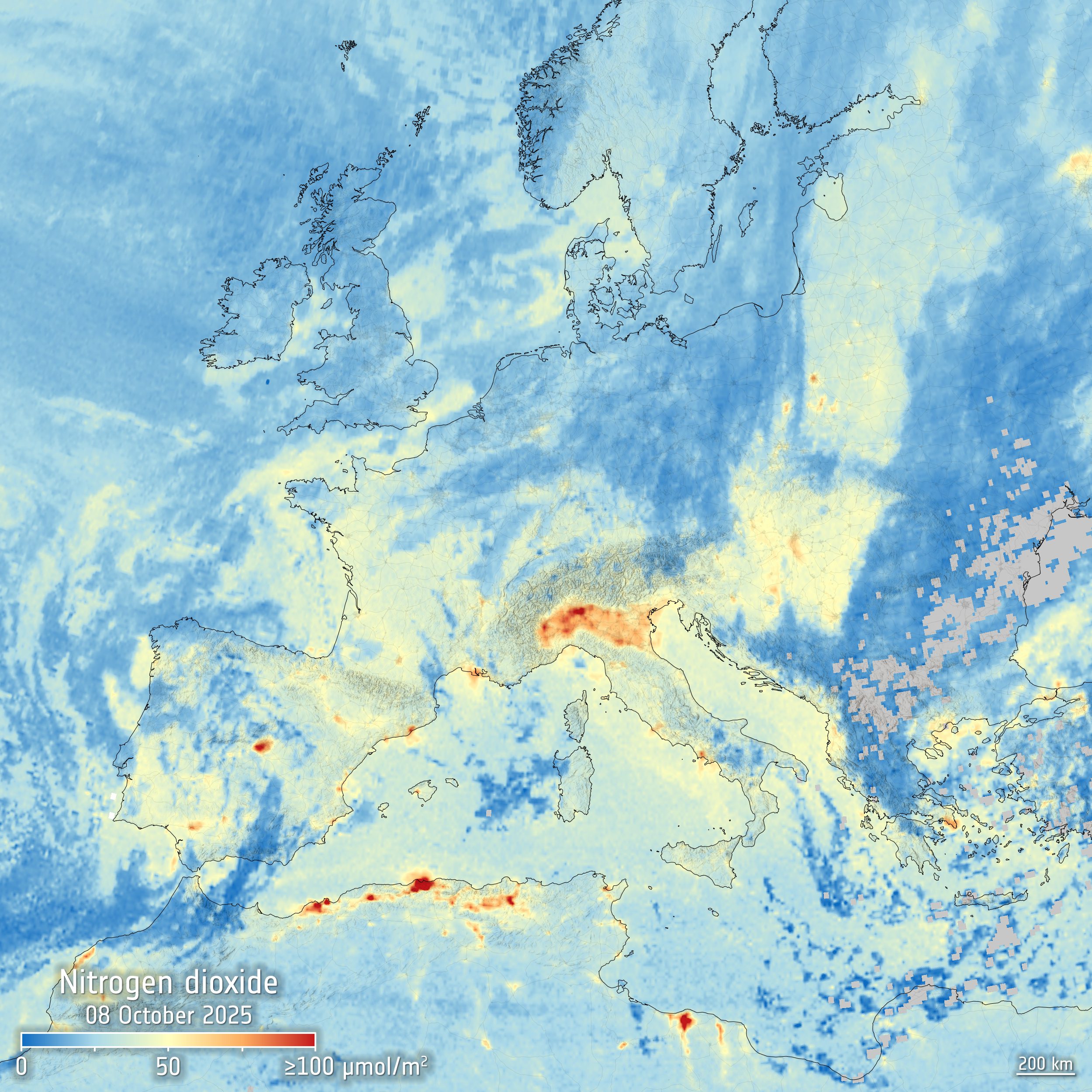
The new Copernicus Sentinel-4 mission has delivered its first images, highlighting concentrations of atmospheric nitrogen dioxide, sulphur dioxide and ozone. De...
The AI model now combines decades of geospatial modelling with Gemini’s advanced reasoning. Google has upgraded Earth AI, integrating Geospatial Reaso...
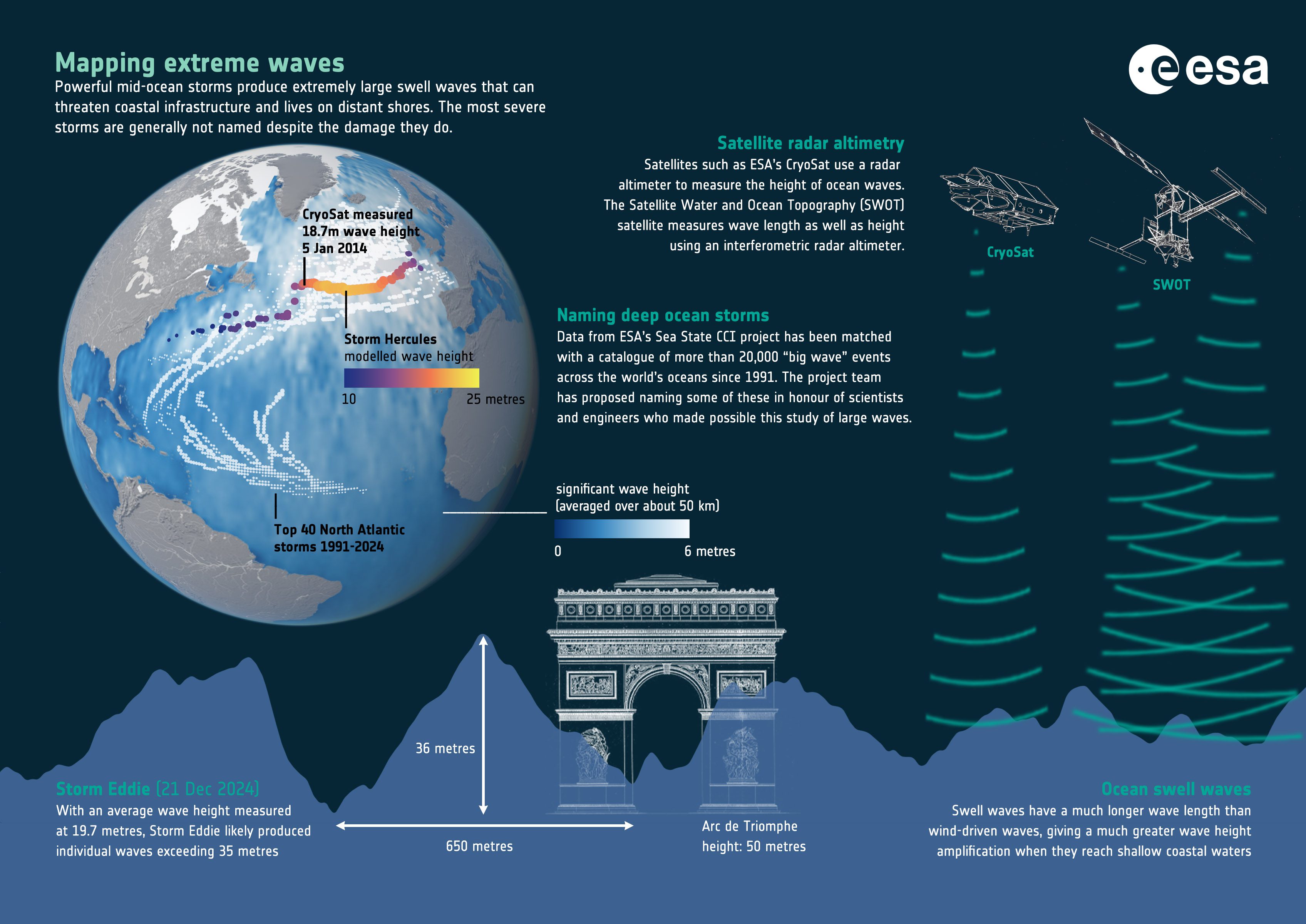
Driven by wind, waves are at their most powerful during storms, yet the greatest threat to coastlines often does not come from the storm itself, but from the lo...
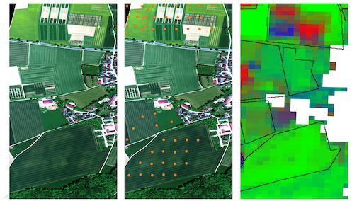
On the left we see a high-resolution HySpex image of the Puch test area in true colors, taken on May 12, 2025. In the center is the same image with locations of...
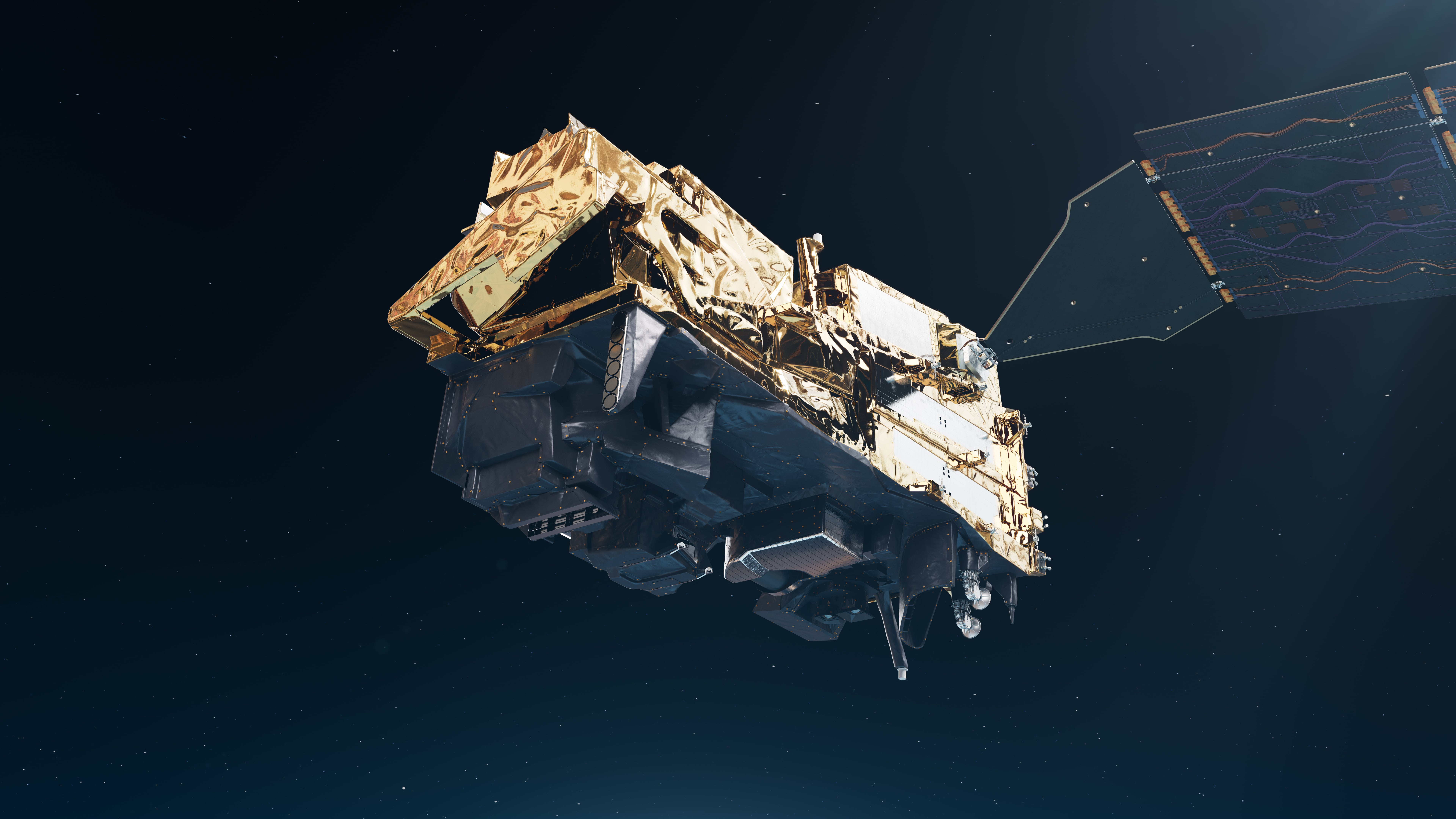
MetOp Second Generation (MetOp-SG) was launched in August 2025. Two of its instruments have already returned first data. Now it's the turn of the Multiviewing m...
LYNRED supplied three of the four critical detectors onboard the METOP-SG weather satellite, which was launched from Kuru, French Guyana, on Aug. 12, 2025. The...
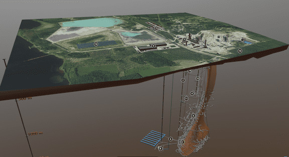
Advanced Navigation successfully demonstrated a breakthrough in underground navigation, delivering high-precision positioning without reliance on fixed infrastr...
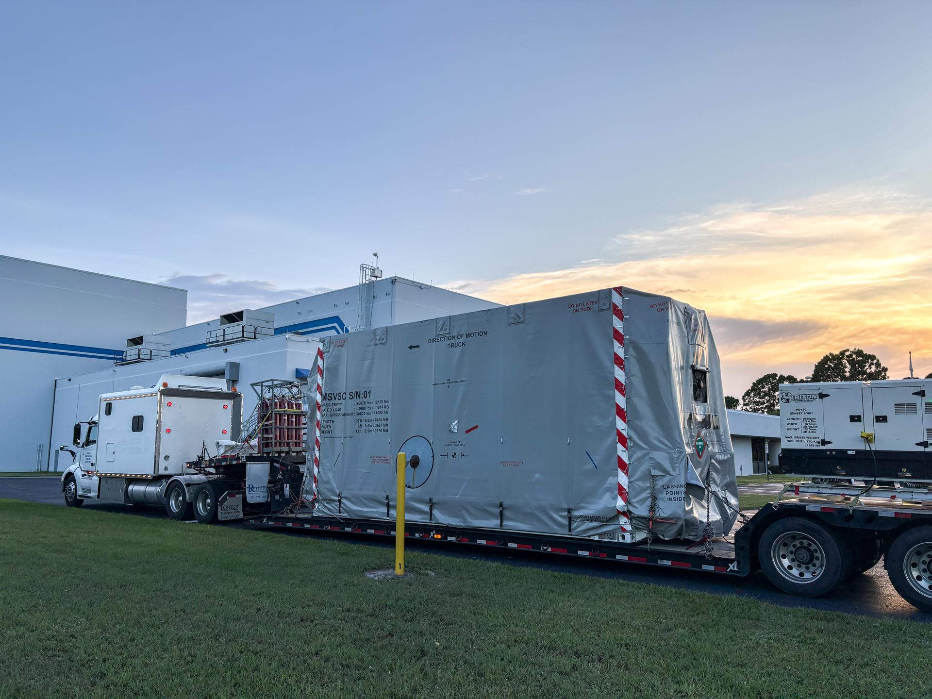
The National Oceanic and Atmospheric Administration’s (NOAA) Space Weather Follow On–Lagrange 1 (SWFO-L1) Observatory, set to provide quicker and more accurate...