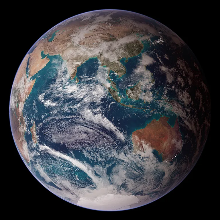
NASA Releases Updated Climate Change Adaptation, Resilience Plan
NASA joined more than 20 federal agencies in releasing its updated Climate Adaptation Plan, helping expand the Biden-Harris Administration’s efforts to make fed...
Geospatial1 brings Earth Imaging Journal, Sensors & Systems and Asian Surveying & Mapping together as one media resource. V1 Media is the parent of Geospatial1 and Informed Infrastructure.
NASA joined more than 20 federal agencies in releasing its updated Climate Adaptation Plan, helping expand the Biden-Harris Administration’s efforts to make fed...
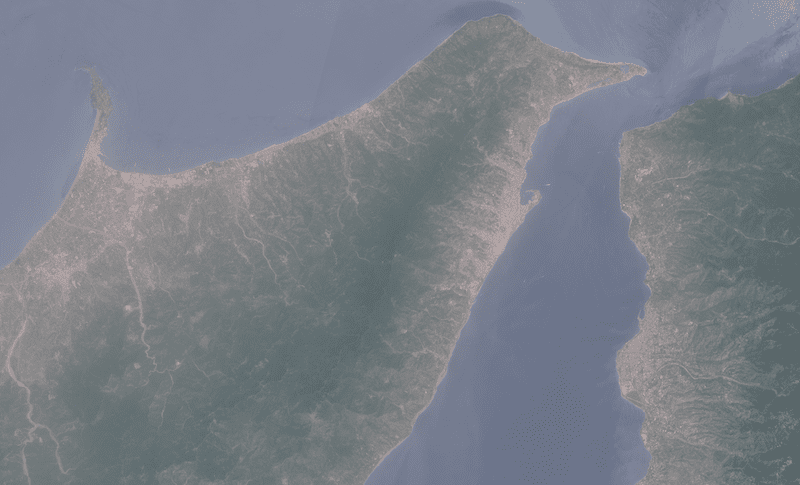
These Copernicus Sentinel-2 images show two different views of the Strait of Messina in Italy, before and after a major dust storm from the Sahara desert passed...
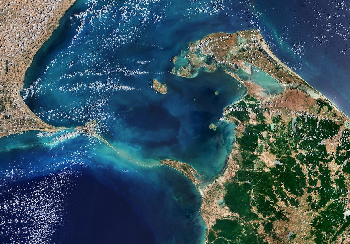
This Copernicus Sentinel-2 image shows Adam’s Bridge, a chain of shoals linking India and Sri Lanka. Adam’s Bridge, also known as Rama’s Bridge, or Rama Set...
ALS Trial Navigator Offers People Living with ALS an Easy Way to Search Eligible Research Studies REDLANDS, Calif. — The ALS Therapy Development Institute ( A...
Significant increase in GPS jamming and spoofing globally by nation-states and others is impacting civilian and military airspace System successfully flight-tes...
"Top 20 Essential Skills for ArcGIS Online" Makes Creating Interactive Web Maps Easier Than Ever REDLANDS, Calif. — Esri, the global leader in location intel...
Munich, Germany - During the devastating floods in Southern Germany, where multiple people have been declared dead and several missing, European Space Imaging (...
Berlin – Airbus Defence and Space and Helsing, Europe’s leading defence AI and software company, signed a framework cooperation agreement at the ILA aerospace t...
LOGAN, Utah - Juniper® Systems is excited to announce that Uinta™, the company’s powerful and easy-to-use data collection and mapping software, is now available...
SAN MATEO, Calif. and SCOTTSDALE, Ariz. — Axon (Nasdaq: AXON), the global public safety technology leader, and Skydio, the leading U.S. drone manufacturer and...