Synspective Succeeds in Acquiring Japan's Highest Resolution 25cm SAR image
TOKYO, 2024 – Synspective Inc., a provider of Synthetic Aperture Radar (SAR) satellite data and analytics solutions, is pleased to announce that we have success...
Geospatial1 brings Earth Imaging Journal, Sensors & Systems and Asian Surveying & Mapping together as one media resource. V1 Media is the parent of Geospatial1 and Informed Infrastructure.
TOKYO, 2024 – Synspective Inc., a provider of Synthetic Aperture Radar (SAR) satellite data and analytics solutions, is pleased to announce that we have success...
Plenary session looks at keys to unlocking business potential in the space economy BOSTON (MA) – The International Space Station (ISS) continues to be a...
The data is vital in addressing economic development, infrastructure, conservation, and emergency response planning needs. DAYTON, Ohio — The state of Ohio h...
Reality Capture Network will host a dedicated conference track at Geo Week in Denver, CO Portland, Maine – July 10, 2024 —The Organizers of Geo Week...
Skadi Series™ GNSS receivers put the power of RTK In Your Hand™ through several new unique, patented features that maximize field productivity, safety, and flex...
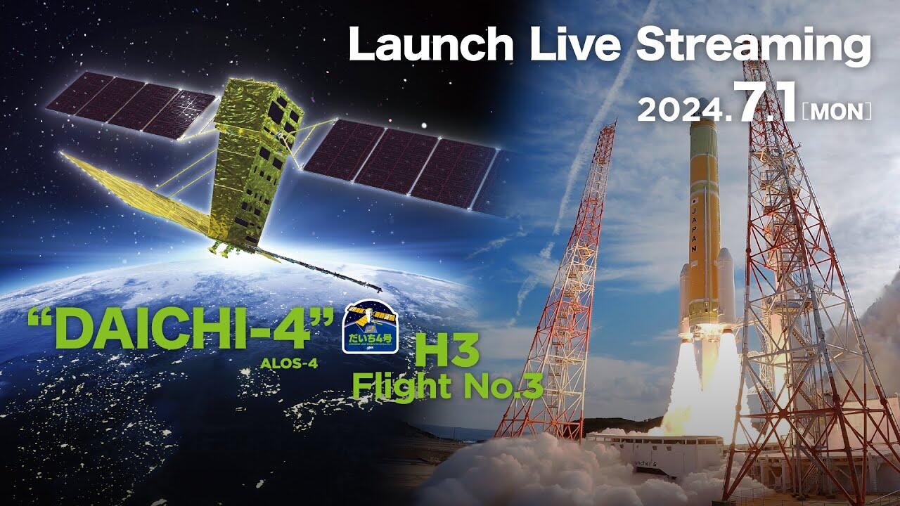
On July 3, 2024, the Japan Aerospace Exploration Agency (JAXA) advanced the Commercial Removal of Debris Demonstration (CRD2) Phase I project, under which the d...
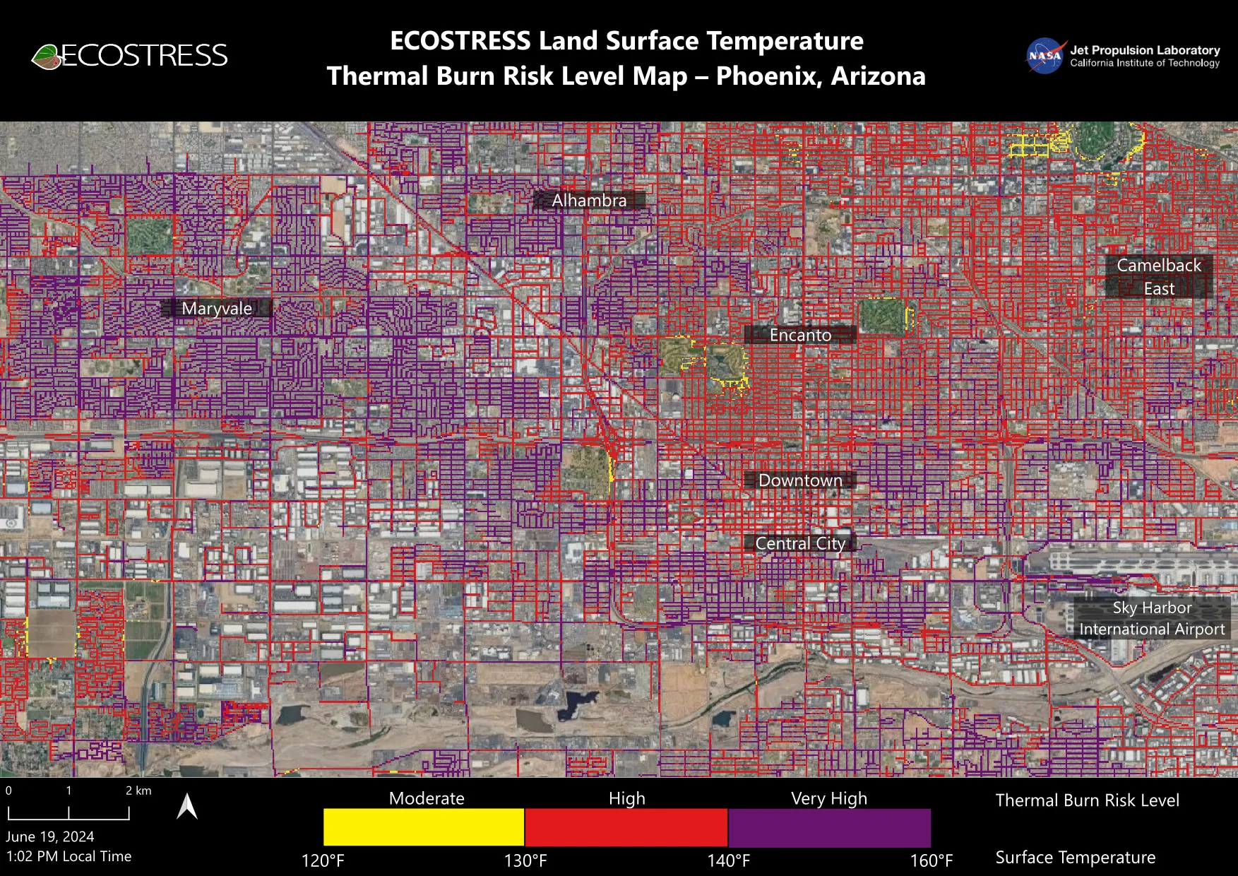
Researchers at NASA’s Jet Propulsion Laboratory in Southern California mapped scorching pavement in Phoenix where contact with skin—from a fall, for example—can...
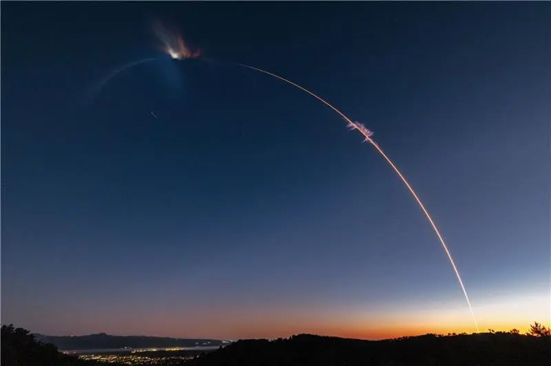
As part of NASA’s CubeSat Launch Initiative, Firefly Aerospace launched eight small satellites on July 3, 2024, aboard the company’s Alpha rocket. Named “Noise...
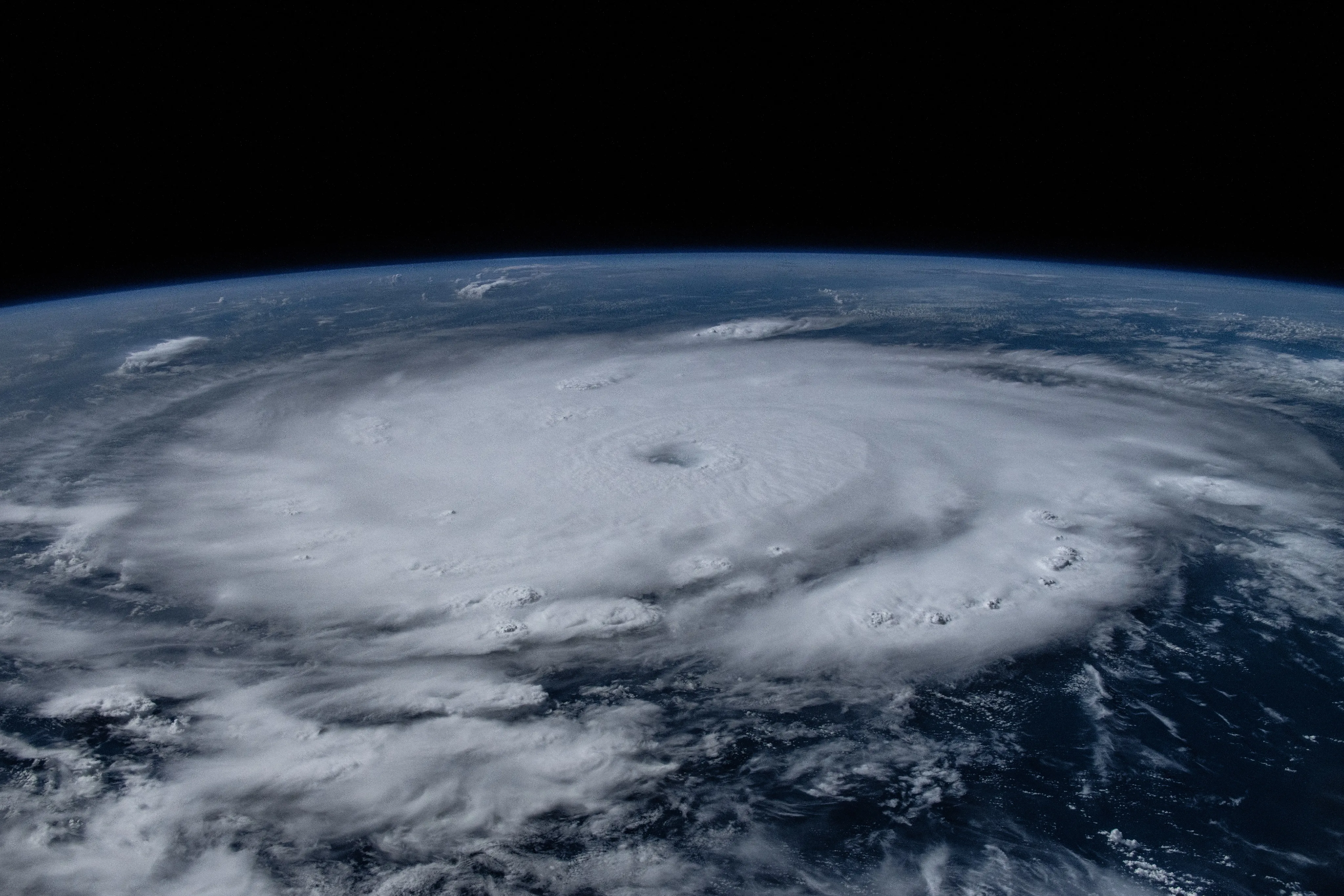
NASA astronaut Matthew Dominick captured this image of Hurricane Beryl in the Caribbean on July 1, 2024, while aboard the International Space Station. The Categ...
The Hague, The Netherlands: The World Geospatial Industry Council (WGIC) is excited to call for nominations for the coveted DEI Trailblazer Awards 2024. The awa...