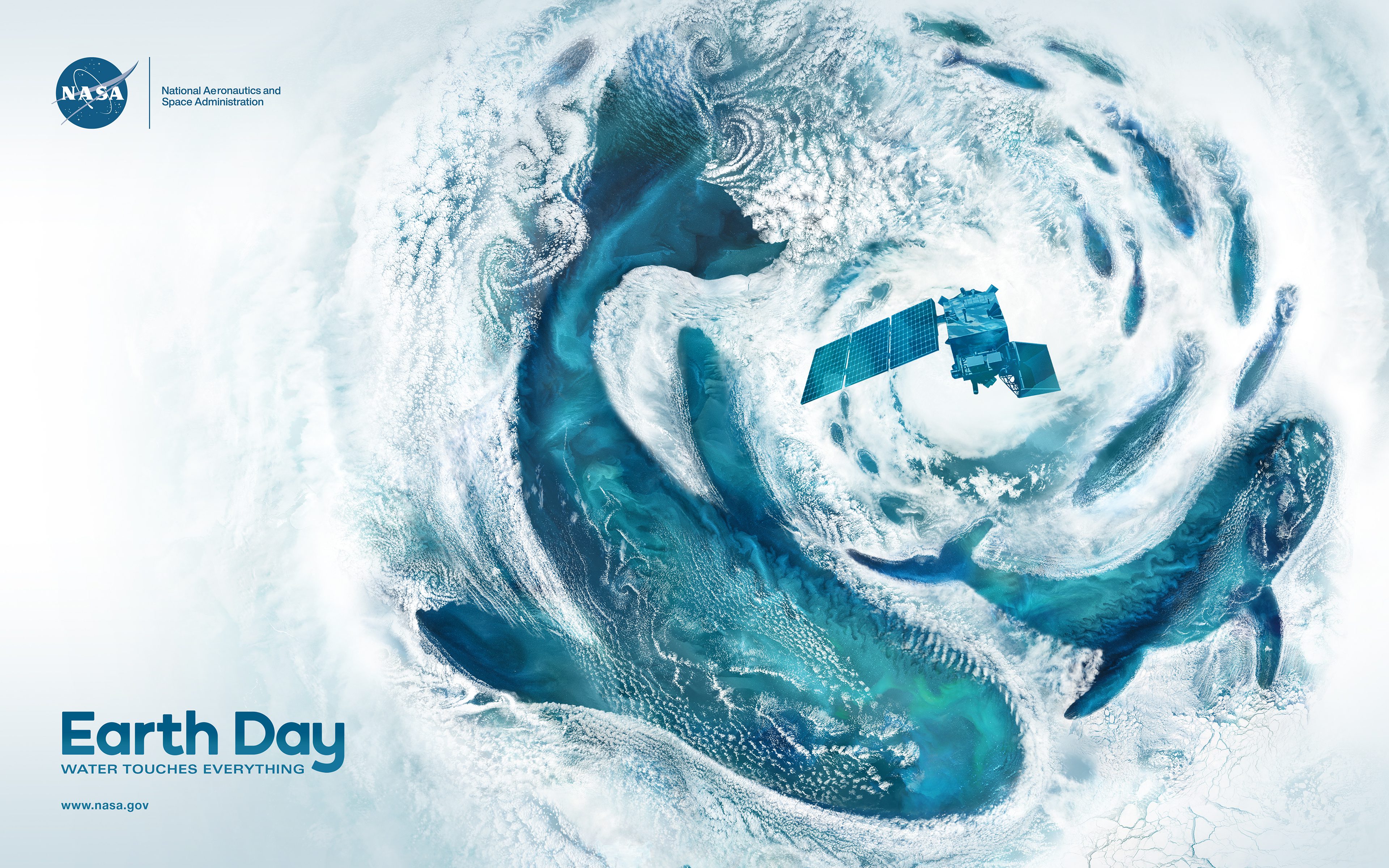
Real satellite imagery from NASA’s Terra, Aqua and Landsat missions takes the shape of whales and swirling clouds in the agency’s Earth Day 2024 poster, “Water Touches Everything.”
The major ocean basins—Atlantic, Pacific, Arctic, Indian, and Southern—shape our planet’s climate and weather by absorbing, storing and moving heat, water and carbon dioxide. For nearly five decades, NASA missions have enabled researchers to observe from above and measure changes in the ocean across days, months, seasons and years. Scientists use our satellite and sub-orbital data and climate models to study ocean dynamics, sea level rise, hydrological cycles, marine life, and the intersections of land and sea.
Image Credit: NASA/Jenny Mottar
Water Touches Everything