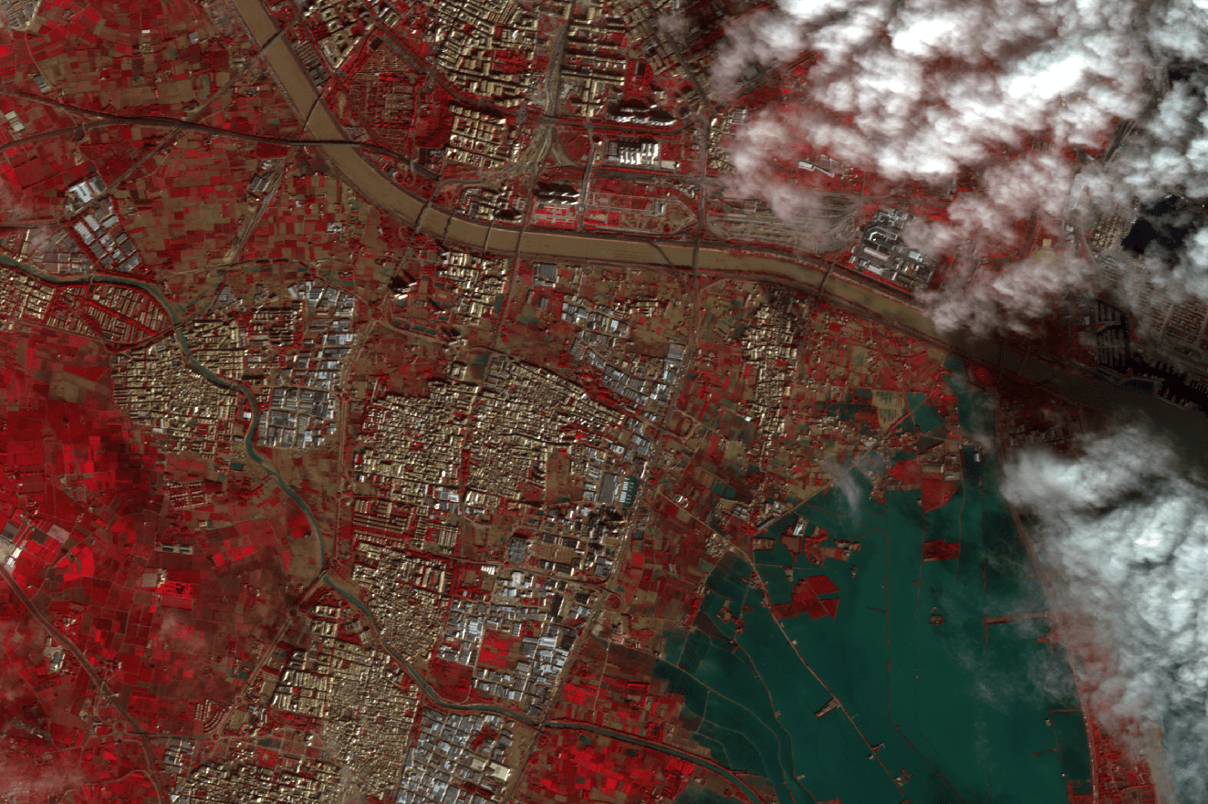
This image, captured by the GEOSAT-2 mission on Oct. 31, 2024, over the Horta-Sud region of Valencia, Spain, reveals the areas most impacted by the devastating floods, including Paiporta, Benetússer, Alfafar and Sedaví. Processed using a mix of near-infrared, red, and green multispectral bands, the image highlights the full extent of the flooded areas.
Image Credit: GEOSAT
Valencia Floods Captured by GEOSAT-2