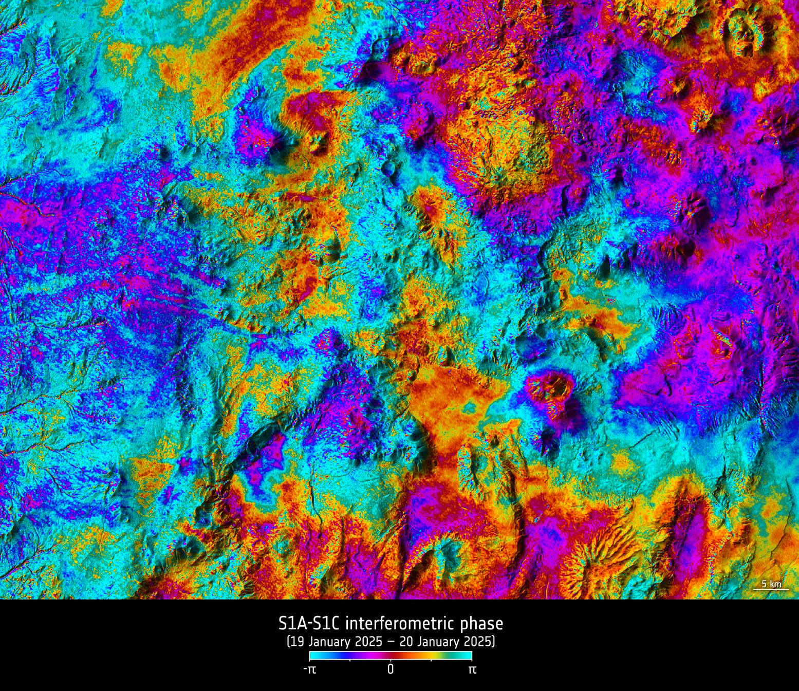
Launched just two months ago and still in the process of being commissioned for service, the Copernicus Sentinel-1C satellite is, remarkably, already showing how its radar data can be used to map the shape of Earth’s land surface with extreme precision.
These first cross-satellite “interferometry” results assure its ability to monitor subsidence, uplift, glacier flow, and disasters such as landslides and earthquakes.
This cross-satellite interferogram is of the Atacama Desert plateau in northern Chile and was generated from images acquired just one day apart, by Sentinel-1A on Jan. 19, 2025, and Sentinel-1C on Jan. 20, 2025.
Image Credit: Contains modified Copernicus Sentinel data (2025), processed by DLR Microwaves & Radar Institute/ESA
Top Stories
Sentinel-1C Demonstrates Power to Map Land Deformation