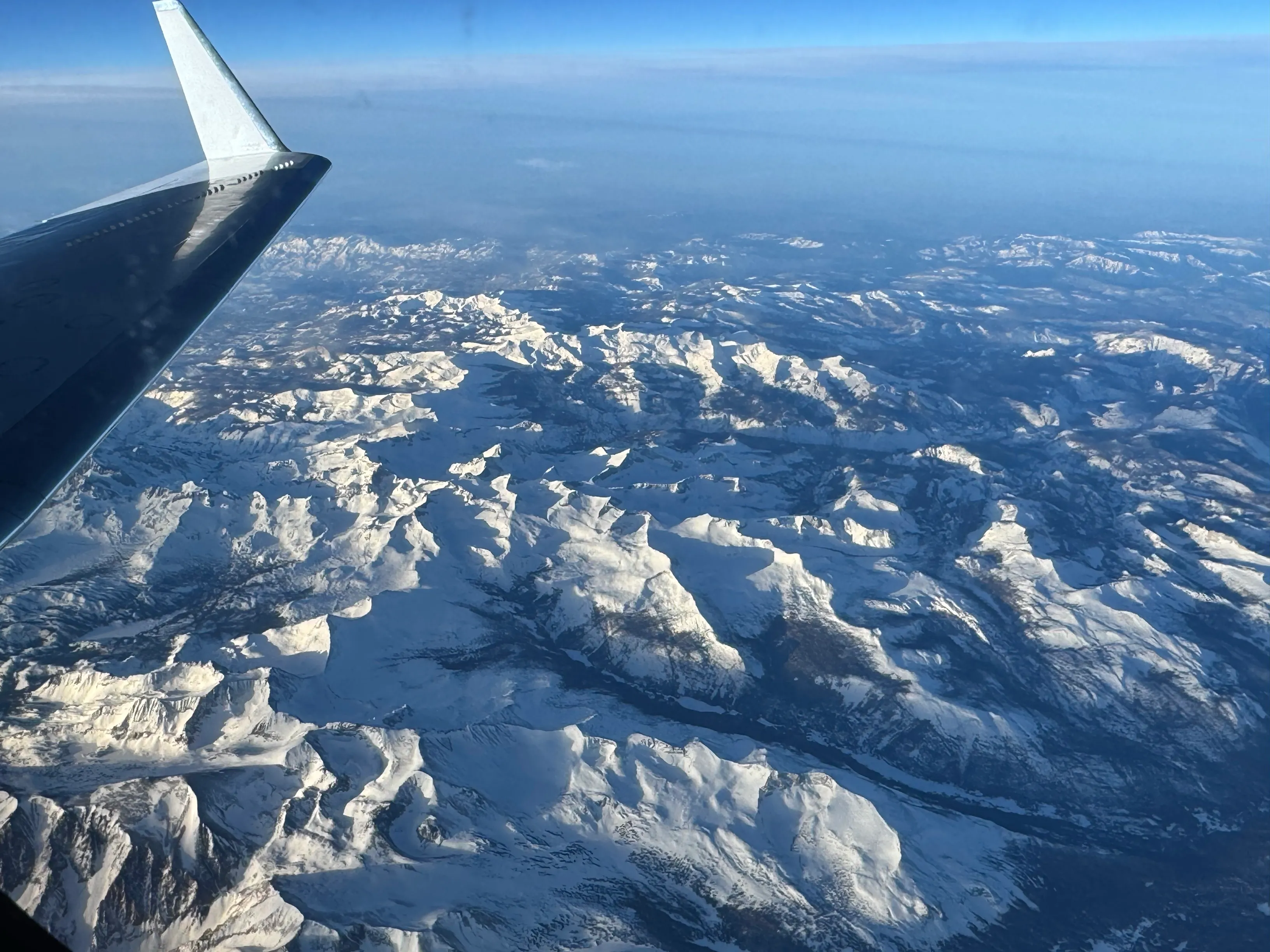
[caption id="attachment_97333" align="alignleft" width="300"] The C-20A aircraft, at NASA’s Armstrong Flight Research Center in Edwards, Calif., flies over the Sierra Nevada Mountains in California on Feb. 28, 2025, for the Dense UAVSAR Snow Time (DUST) mission, which collected airborne data about snow water to help improve water management and reservoir systems on the ground. (Credit: NASA/Starr Ginn)[/caption]
As part of a science mission tracking one of Earth’s most precious resources–water–NASA’s C-20A aircraft conducted a series of seven research flights in March that can help researchers track the process and timeline as snow melts and transforms into a freshwater resource. The agency’s Uninhabited Aerial Vehicle Synthetic Aperture Radar (UAVSAR) installed on the aircraft collected measurements of seasonal snow cover and estimate the freshwater contained in it.
The Dense UAVSAR Snow Time (DUST) mission mapped snow accumulation over the Sierra Nevada mountains in California and the Rocky Mountains in Idaho. Mission scientists can use these observations to estimate the amount of water stored in that snow.
Top Stories
NASA Tracks Snowmelt to Improve Water Management