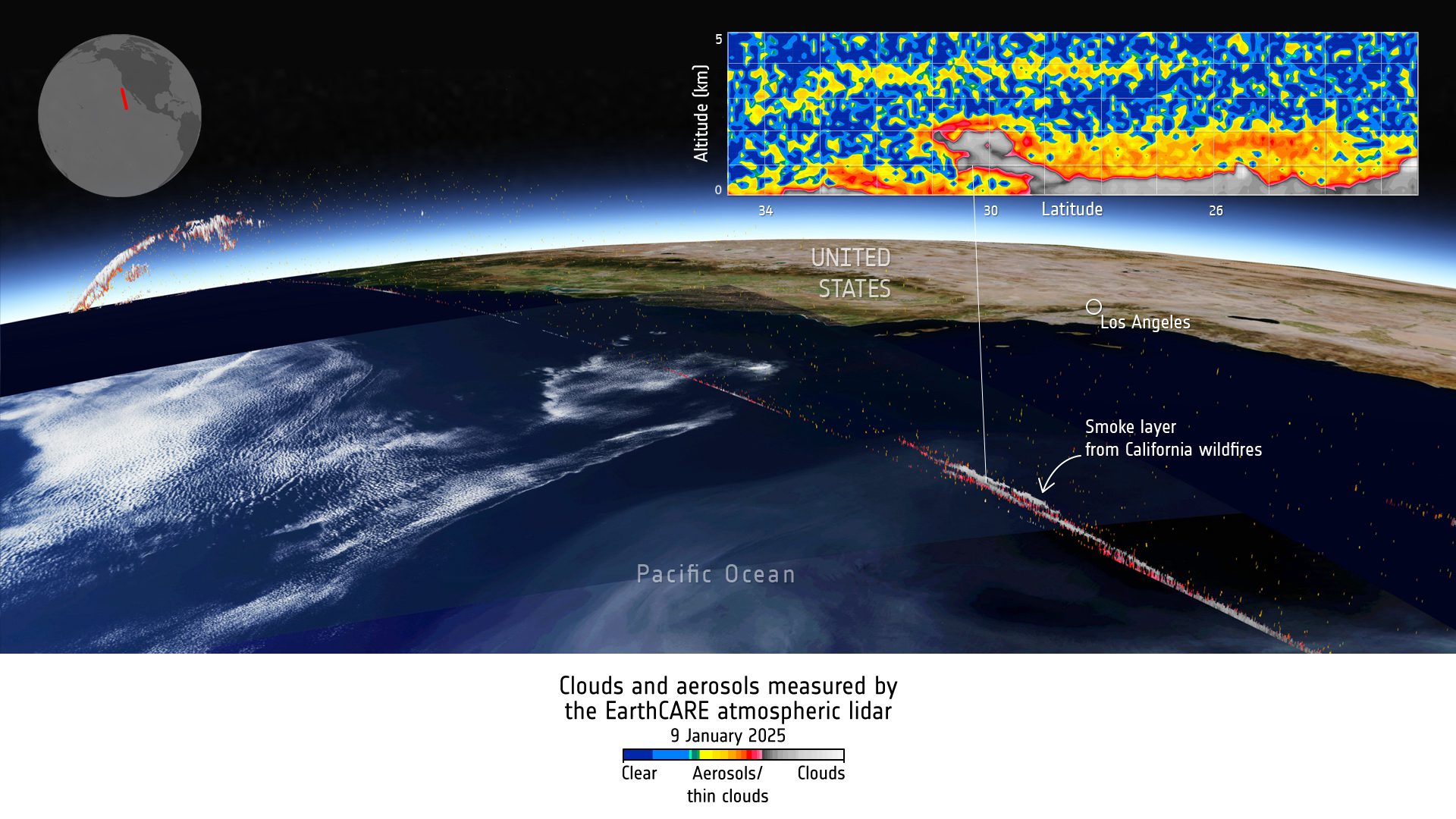
With the European Space Agency (ESA) EarthCARE satellite and four measuring instruments all working extremely well and fully commissioned, the mission’s “first level” data stream is now freely available. As an example, Level-1 data acquired on Jan. 9, 2025, by the satellite’s atmospheric lidar have been used to show the smoke layer from the current Los Angeles wildfire disaster, which is being carried over the Pacific Ocean by strong winds.
Image Credit: ESA
Industry Insights & Trends
EarthCARE Images Smoke Layer from Los Angeles Fire