Starliner to the Stars
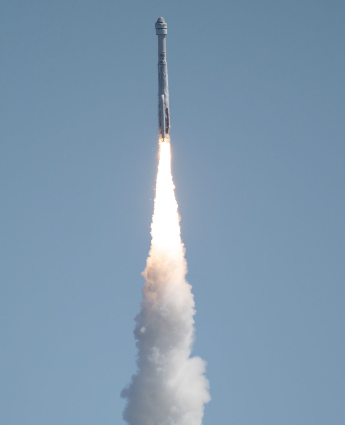
A United Launch Alliance Atlas V rocket with Boeing’s CST-100 Starliner spacecraft aboard launched from Space Launch Complex 41 at Cape Canaveral Space Force St...
Geospatial1 brings Earth Imaging Journal, Sensors & Systems and Asian Surveying & Mapping together as one publication. V1 Media is the parent of Geospatial1 and Informed Infrastructure.
A United Launch Alliance Atlas V rocket with Boeing’s CST-100 Starliner spacecraft aboard launched from Space Launch Complex 41 at Cape Canaveral Space Force St...
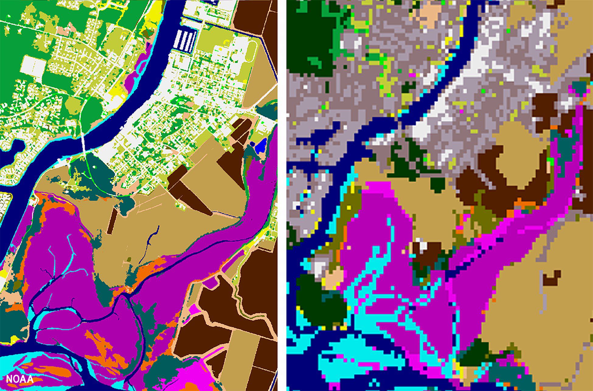
High-resolution land cover data is now available through NOAA’s Digital Coast. This data provides communities with the foundational data needed to assess coasta...
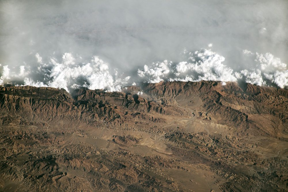
An astronaut aboard the International Space Station took this oblique photograph of the Sulaiman Mountains in central Pakistan. The range resulted from the slow...
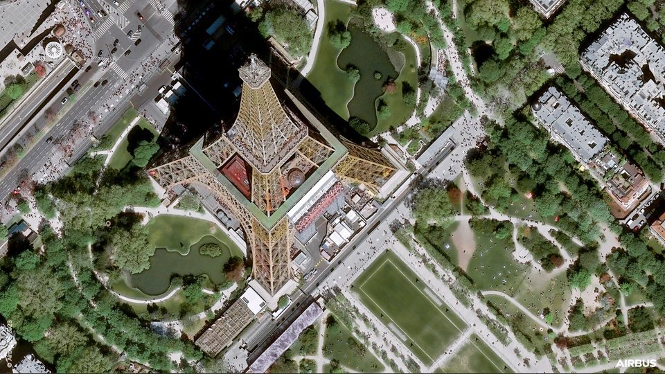
On April 29, 2024, Airbus launched the Pléiades Neo Next program to expand its very-high-resolution Earth observation constellation. This new program will resul...
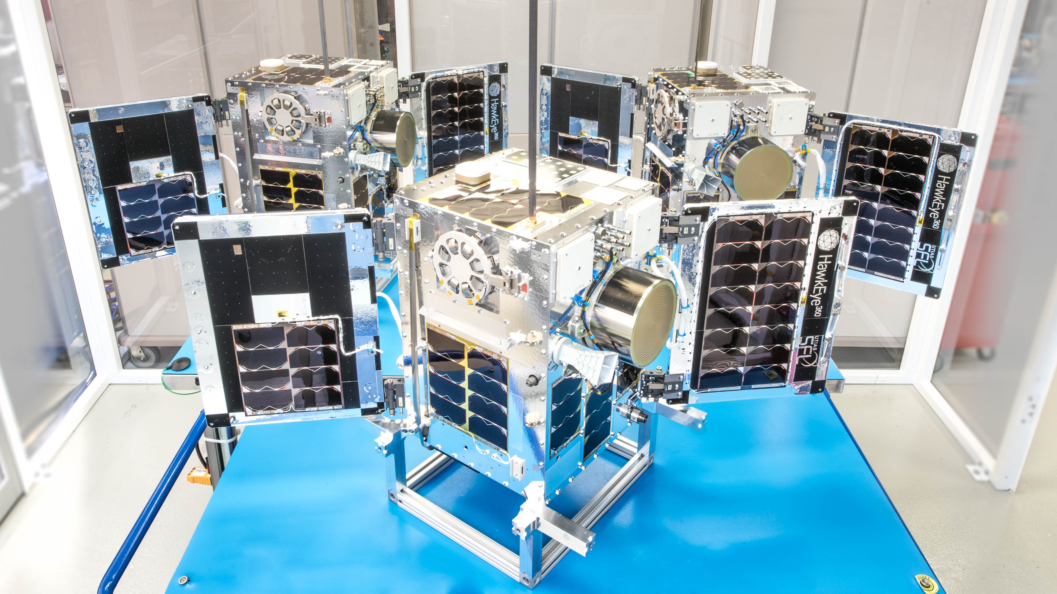
Space Flight Laboratory (SFL) confirmed that six radio frequency geolocation microsatellites developed for HawkEye 360 of Herndon, Va., successfully communicate...
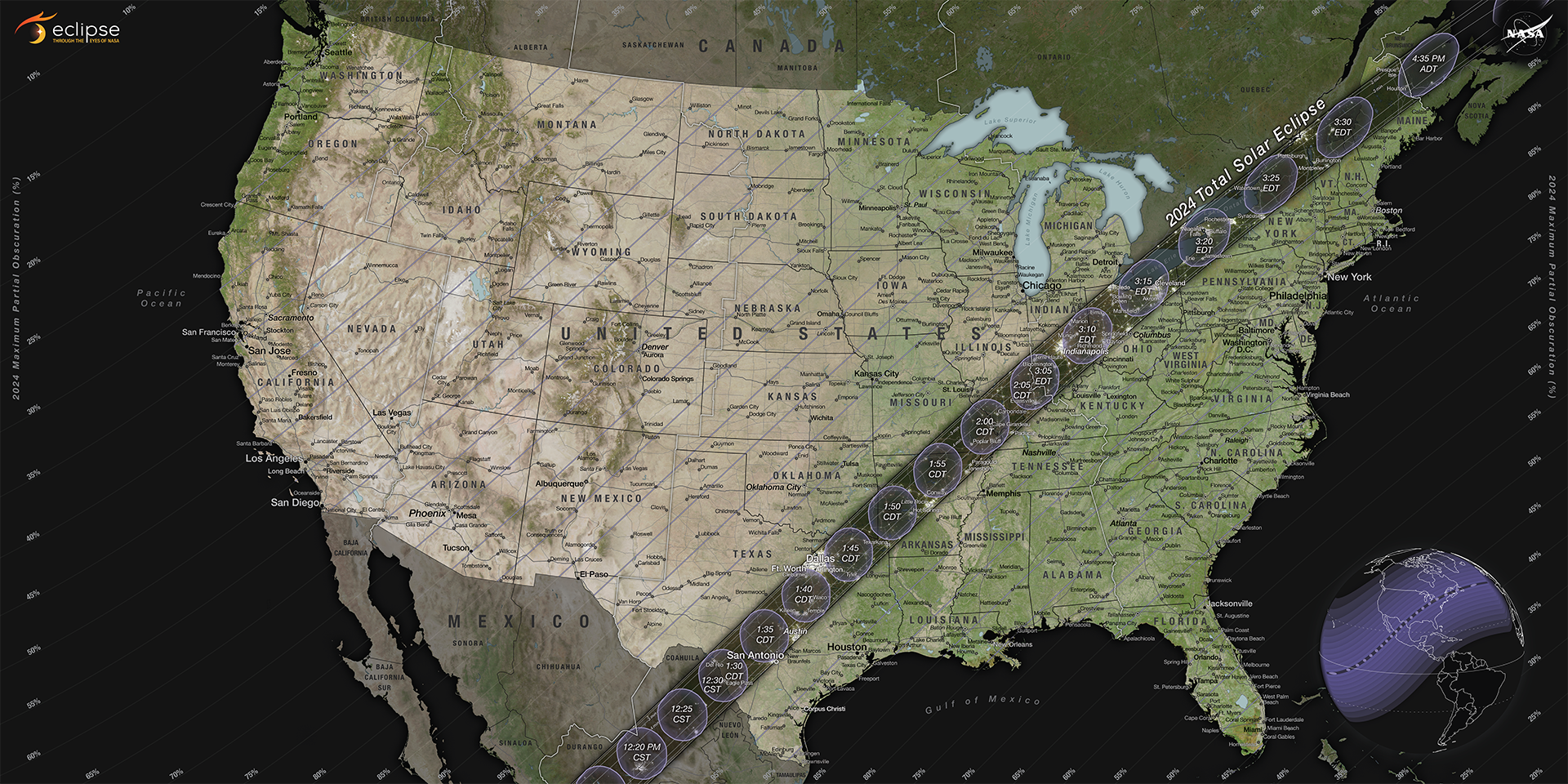
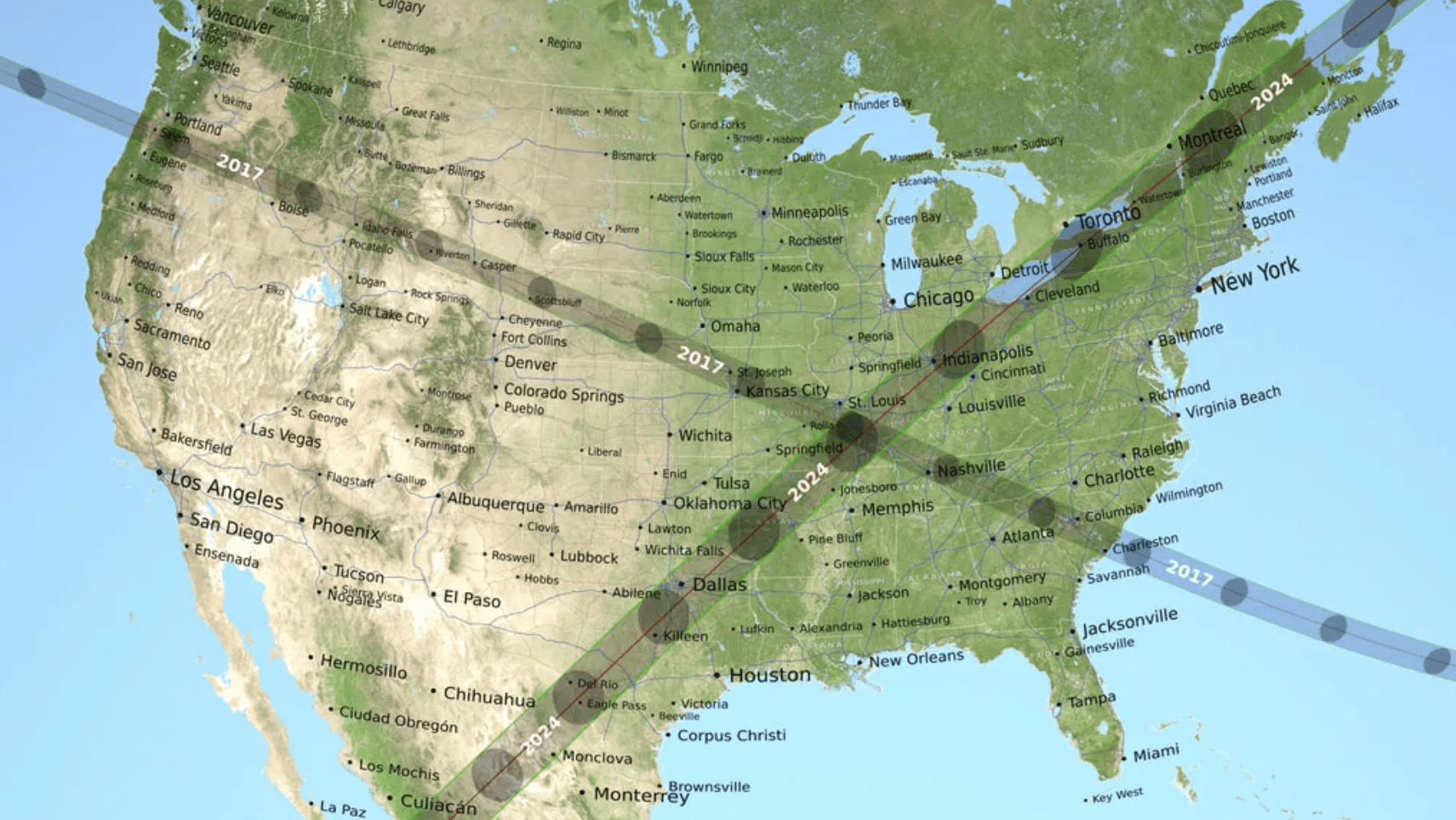
On April 8, 2024, most of North America will have the chance to see the Moon pass in front of the Sun during a solar eclipse. NASA is inviting the public to par...
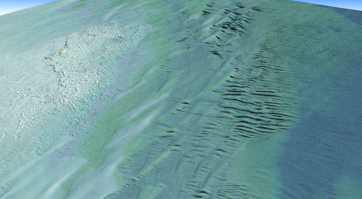
Tetra Tech Inc. used a Teledyne Optech CZMIL SuperNova Topobathymetric lidar system to successfully complete a project for the National Oceanic and Atmospheric...
When NASA sends astronauts to the South Pole region of the Moon for the first time with its Artemis campaign, they will capture photos with a handheld camera to...
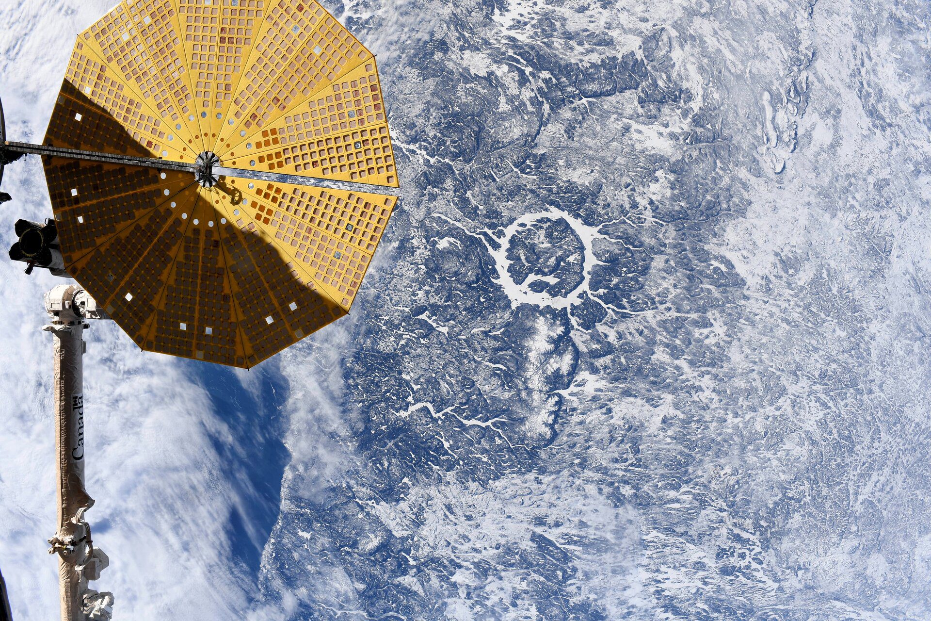
Manicougan Crater seen from the International Space Station on Feb. 5 2024, by ESA astronaut Andreas Mogensen. When Andreas shared the picture on social media,...
On April 8, 2024, the Moon’s shadow will sweep across the United States, as millions will view a total solar eclipse. For many, preparing for this event brings...